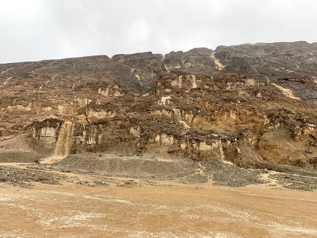
Saturday's rains created a cascading series of waterfalls south of Natural Bridge along the Badwater Road/NPS
Storms fueled by the remnants of Hurricane Kay caused localized, heavy damage in Death Valley National Park on Saturday afternoon, September 10, 2022. California highway 190 (CA-190) is closed from CA-136 junction to Stovepipe Wells Village. Badwater Road is fully closed. Many other park roads are still closed from floods five weeks ago.
The flooding across Badwater Road was concentrated from Natural Bridge to Badwater Basin, mileposts 10-16. Park rangers received warnings about the storm’s path about an hour in advance from the National Weather Service. Rangers warned people to leave the area. One RV was unable to leave until the National Park Service (NPS) road crew cleared a single administrative lane Sunday morning.
The heavy rains generated an unusual sight in Death Valley: Cascades of waterfalls a bit south of Natural Bridge along the Badwater Road.
Also on Saturday afternoon, about 40 vehicles were blocked by active flooding CA-190 west of Towne Pass. At the same time, a tour bus got wheels stuck in soft sand while trying to turn around. The bus blocked both lanes of CA-190 for about an hour, east of Stovepipe Wells. Most vehicles were able to get around the bus on the shoulder, but a semi truck and an RV had to wait.
CA-190 has at least once section of missing pavement across both lanes on the west side of Towne Pass. Caltrans has not provided an estimate for when the road segment will reopen.

Badwater Road Road is closed at the junction with CA-190, but the damaged section of the road is between Natural Bridge and Badwater Basin, Death Valley National Park / NPS - M. Reynolds
For the status of CA-190, check quickmap.dot.ca.gov. For overall information on all roads in Death Valley National Park, go to nps.gov/deva/planyourvisit/conditions.htm.


Comments
Amazing. The last time I was there, we hiked to the little year-round waterfall, Darwin Falls.
https://www.nps.gov/places/darwin-falls.htm