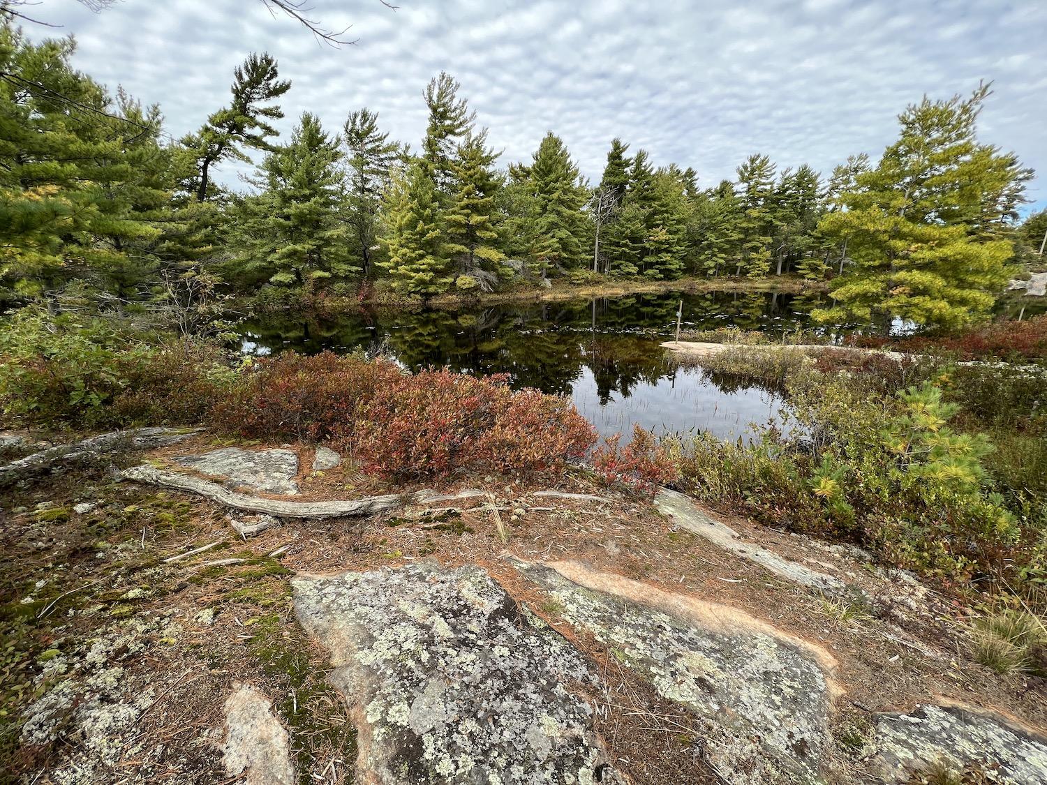
Goblin Lake is one of two lakes at the north end of Beausoleil Island in Georgian Bay Islands National Park/Jennifer Bain
Oh, the stories that Beausoleil Island can tell to those willing to listen. Some from the thousands of years that Indigenous Peoples gathered, traded, farmed and lived on what the Anishinaabeg called Baamidoonegog, “rocky place floating about the mouth of a river.” Others that begin in 1929 when Ottawa answered calls to protect the Ontario island from cottage country development and it formed the core of Georgian Bay Islands National Park.
On the superlative front, Canada’s smallest national park protects 50 islands and properties in the world’s largest freshwater archipelago. The largest of the islands also has a second designation — Beausoleil Island National Historic Site. Straddling two natural bioregions, Beausoleil subtly transitions from windswept pines and Canadian Shield in the north to dense woodland forest in the south.
“It’s often said that Georgian Bay Islands is a simple park because it’s small,” laments resource conservation manager Andrew Promaine. “What I’m going to do is tell you why that’s not the case. There’s so much more to this place that you don’t see.”
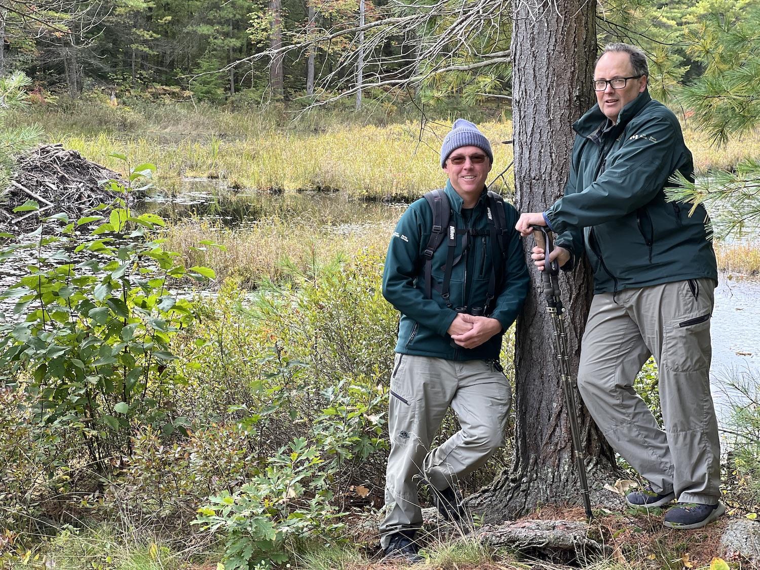
Parks Canada's Mike Lavin, left, and Andrew Promaine, right, stand along the Massasauga Trail at a wetland with a beaver house/Jennifer Bain
On the Massasauga Trail, Promaine leads me to his favorite spot — a wetland where carnivorous pitcher plants flourish alongside touch-me-nots, and where a clever beaver has built a home and three dams in a place without much moving water.
The trail is named for the venomous but timid Eastern Massasauga Rattlesnake, but try as we might we don’t spot the threatened species. Nor do we see the Eastern Foxsnake that climbs trees or any of the park’s 11 snakes. Prairie Warblers and Scarlet Tanangers aren’t out, but interpretation coordinator and self-described “bird geek” Mike Lavin hears — and then sees — a Ruffed Grouse perched on a log in the forest.
Because of the mixing of Great Lakes Precambrian Shield and St. Lawrence Lowlands ecosystems, this park boasts a high degree of biodiversity and protects more reptile and amphibian species — 30 — than any other national park in the country.
At the Oaks campground, I marvel at the two-storey wooden outhouse with composting toilets and chat with campers lunching on ready-to-drink canned Caesars and frosted pumpkin cake.
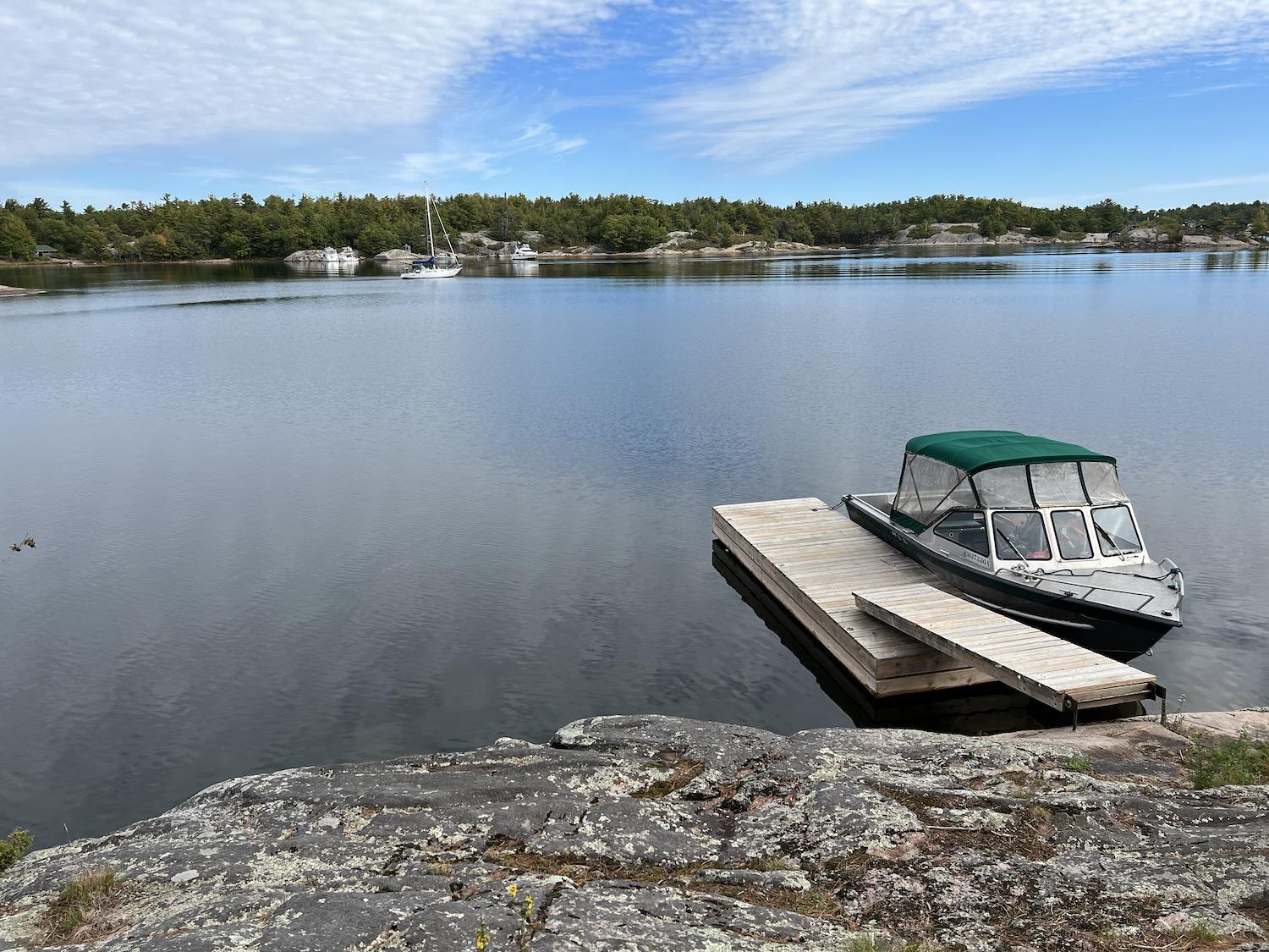
I'm ferried around Beausoleil Island's north end in a Parks Canada boat/Jennifer Bain
Something like 41,000 to 44,000 people visit Georgian Bay Islands each year, sometimes to swim, hike, bike and picnic for the day, other times to camp for a few nights. Local boaters can drop by on a whim but everyone else has to reserve a Parks Canada DayTripper shuttle or private water taxi. The park is just two hours north of Toronto and accessed from Honey Harbour.
Oaks is beside the Chimney Bay campground, which is one of two destinations for the DayTripper and the place where Lavin greets people with a five-minute orientation about the park’s geology and trails plus a few words about bear safety (this is black bear country). What he really hopes to do, though, is “encourage deeper connection to the space and to the park.”
Lavin usually shows people a map of the irregularly shaped Beausoleil Island — which is 8-kilometres (5-miles) long and 1.5 kilometres (0.9 miles) wide — and asks what they see.
“A dragon,” somebody will shout and everyone else usually agrees.
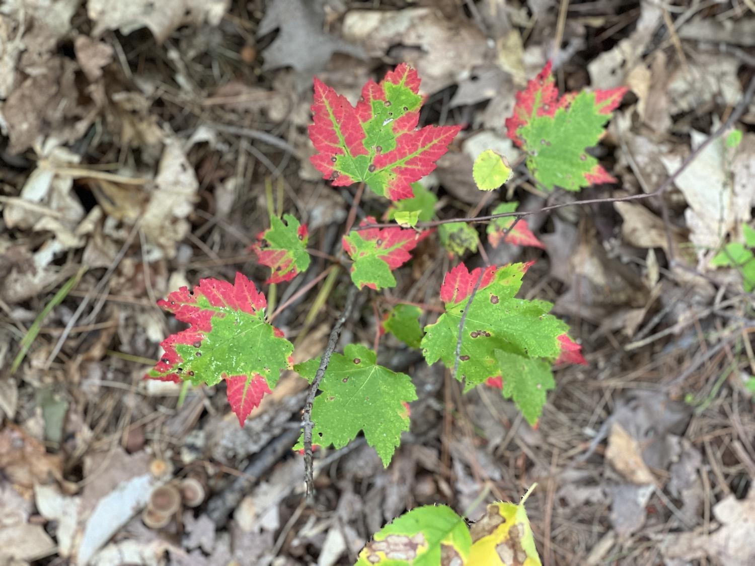
It's well past berry season and into the fall colors when I visited the island park/Jennifer Bain
This Rorschach test allows Lavin to tell a story from Stewart King, a late Elder of the Wasauksing First Nation who was part of the Cultural Advisory Circle that helps guide the park. The story is about Fairy Lake, one of the two lakes on Beausoleil Island.
A beautiful Anishnaabe girl grew up picking the abundant berries around what is now called Fairy Lake. She became known as Miinkekwe (Blueberry Picking Woman) and lovingly cared for her grandparents who in turn shared stories and songs.
Miinkekwe didn’t know that Migcheshibzhii, a beast from another realm, watched her and coveted her as a wife for her knowledge, beauty and power. One day he grabbed her and she called out in vain for help. Nanabozhoo, the great protector of the Anishnaabek, eventually arrived for battle but tragically everyone died.
Migcheshibzhii’s body now forms the outline of Beausoleil Island. His eye is Fairy Lake and it’s surrounded by rocks that are stained pink by Miinkekwe’s blood. Nanabozhoo laid down to die on a nearby island, and so Giant’s Tomb Island now shows his outline. The spirit of Miinkekwe can sometimes be heard wandering Beausoleil singing the songs her grandparents taught her.
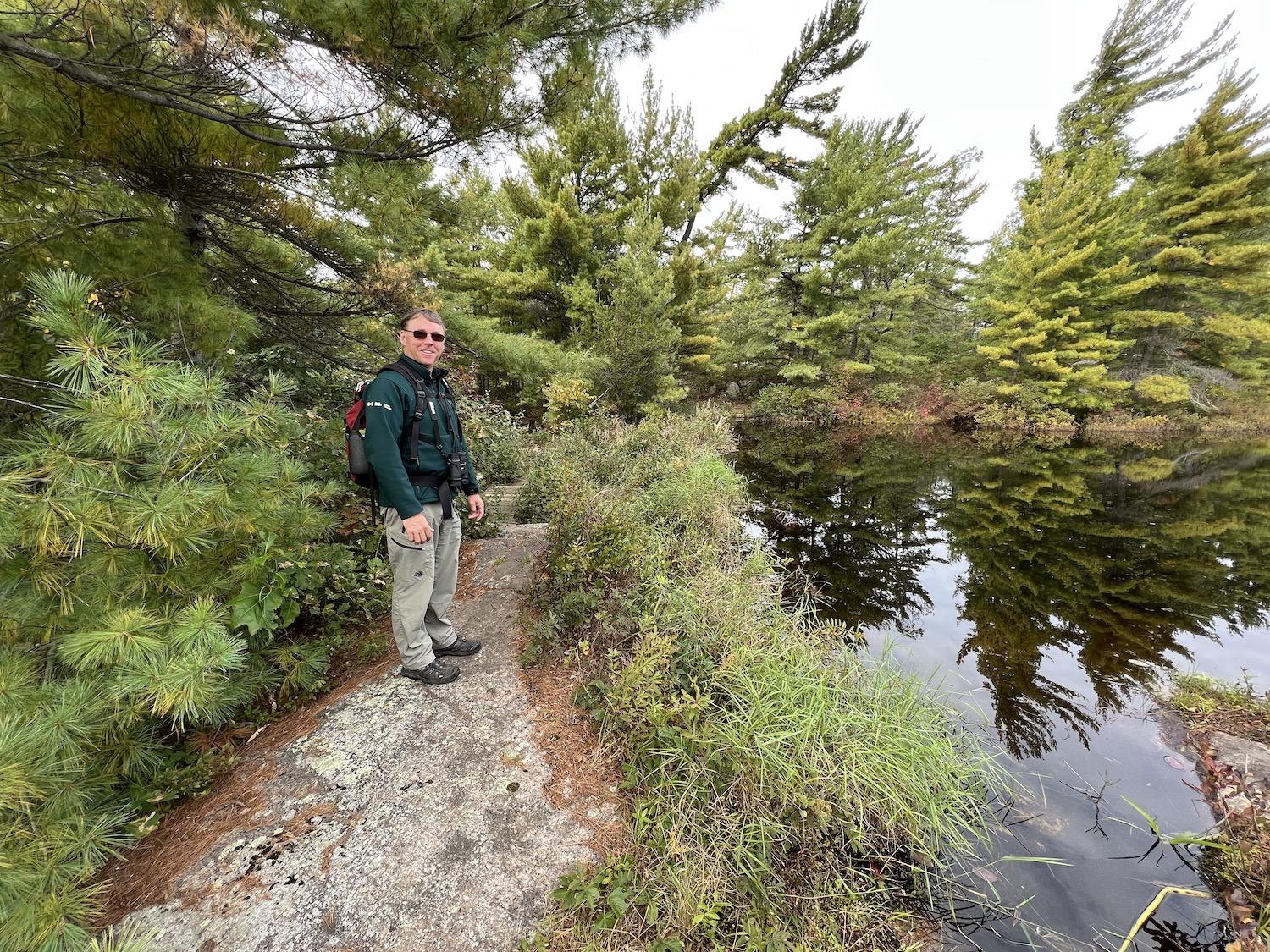
Parks Canada interpretation coordinator Mike Lavin at Goblin Lake/Jennifer Bain
Lavin is keenly interested in how Indigenous and colonial stories about the park co-exist and intertwine.
“The word dragon was not used — and I think that’s key — by the Anishnaabe man who shared the story with us,” he tells me. “When he shared the story with us it was as a gift, so that means that we can share it. And I’m very glad about that because it’s telling the narrative about cultural landscape of Indigenous people that is the traditional homeland of the Anishnaabe. But it also kind of hints at some of the connections to the colonial changes in that I’m using the word dragon aren’t I? Rights? And that’s because we’re seeing it through our lens.”
By sharing the Fairy Lake story, Lavin believes he can “put it in people’s mind that this is an Indigenous cultural landscape that they’re entering.” The written story is posted in the park’s welcome center on a wall near an iconic 1921 print by the Group of Seven’s Frederick Varley called “Stormy Weather, Georgian Bay.” This is, after all, part of the landscape that inspired seven of Canada's most famous painters.
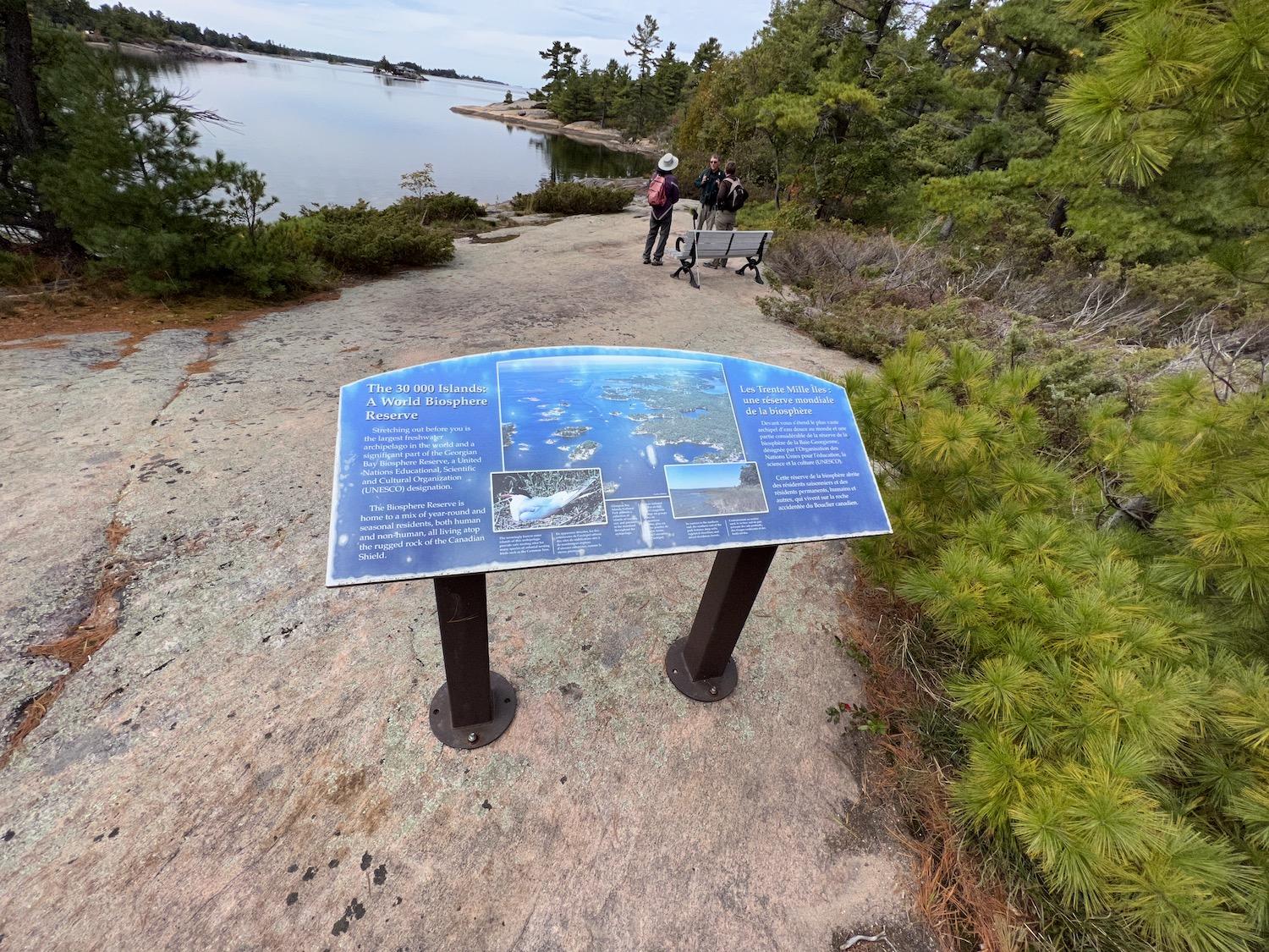
Parks Canada interpretation coordinator Mike Lavin chats with hikers on the rocky shore of the north end of Beausoleil Island/Jennifer Bain
I don’t make it to Fairy Lake, but boat through Little Dog Channel to the top of Beausoleil to explore the Honeymoon Bay campground area, with a stunning sandy beach and views of an osprey nest. We scramble over Canadian Shield rock — technically gneiss but often called granite — to tiny Goblin Lake, where Lavin tells two hikers how to identify trees with the iNaturalist app and connect with the park's free and paid guided hikes.
Back in the boat, we stop to drift for a few minutes in water that makes up UNESCO’s Georgian Bay Biosphere Reserve as we talk about how Beausoleil makes up 70 per cent of the park. Numerous smaller islands account for the other 30 per cent, but they are undeveloped and the only way to get there is on your own. Add up all this disjointed land and you’ve got 14 square kilometres (5.4 square miles) of protected land.
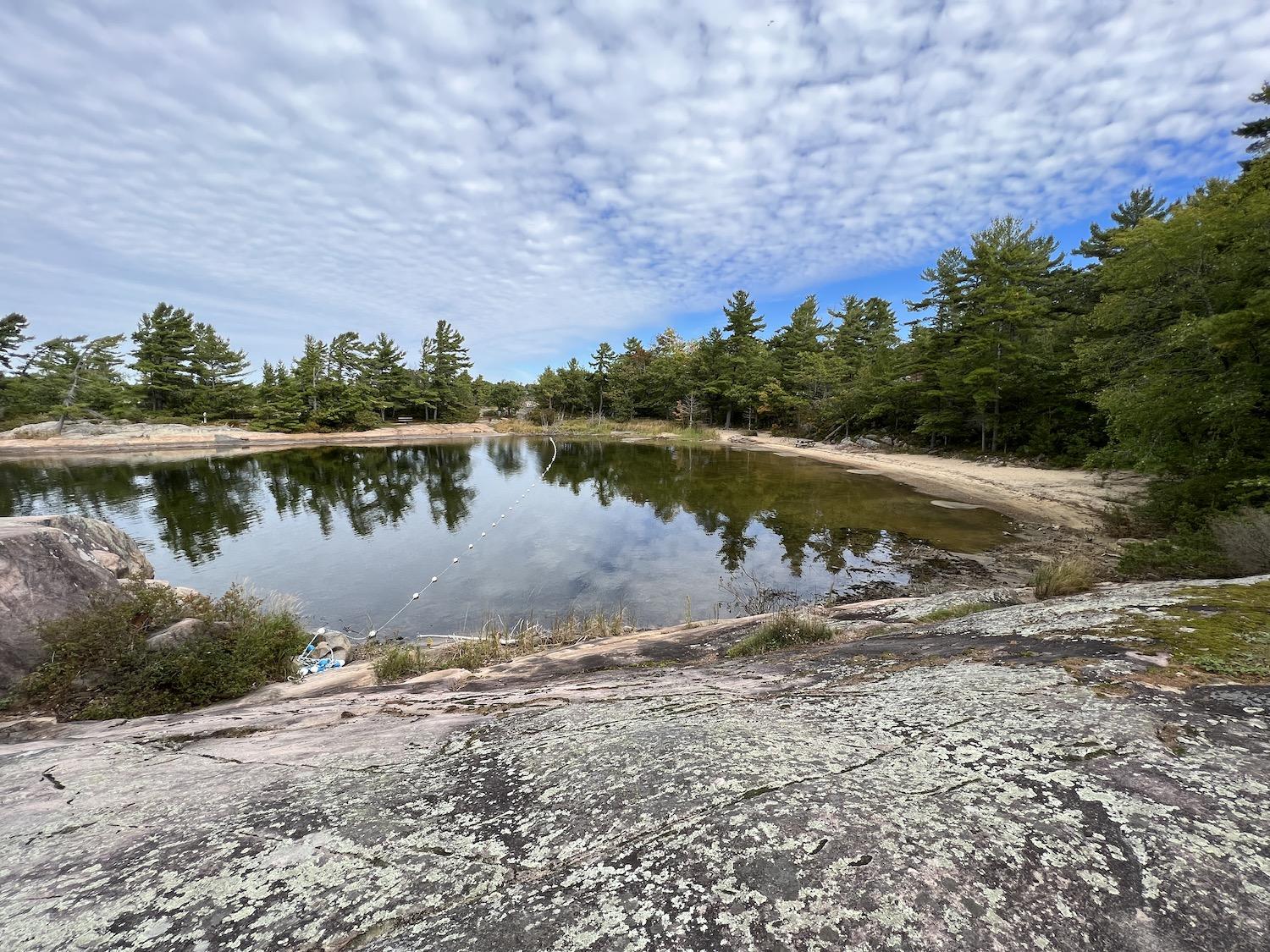
The Honeymoon Bay campground area has an area set aside for swimming/Jennifer Bain
While it doesn't have a huge footprint, Beausoleil is big enough for nine campgrounds, most of them rustic and secluded. There are more than 80 sites for tents plus 10 cabins and five oTENTiks, Parks Canada’s signature cabin/tent hybrid with beds, a table and chairs but no heat or electricity. I speak from experience when I warn that an unheated oTENTik in October isn’t the wisest idea when it dips to minus 1C (30F) overnight and is too cold to do anything other than hide in your sleeping bag.
But the morning sunrise? You can't beat it.
My lakeside oTENTik is in the Cedar Spring campground is on the island's south end, which is full of sugar maples and beech trees with sporadic coniferous trees. With 45 camping sites and the other dock for the Parks Canada DayTripper shuttle, Cedar Spring is abuzz with people all summer but quiet for my recent visit as the seasonal park prepares to shut down on (Canadian) Thanksgiving weekend until late May.
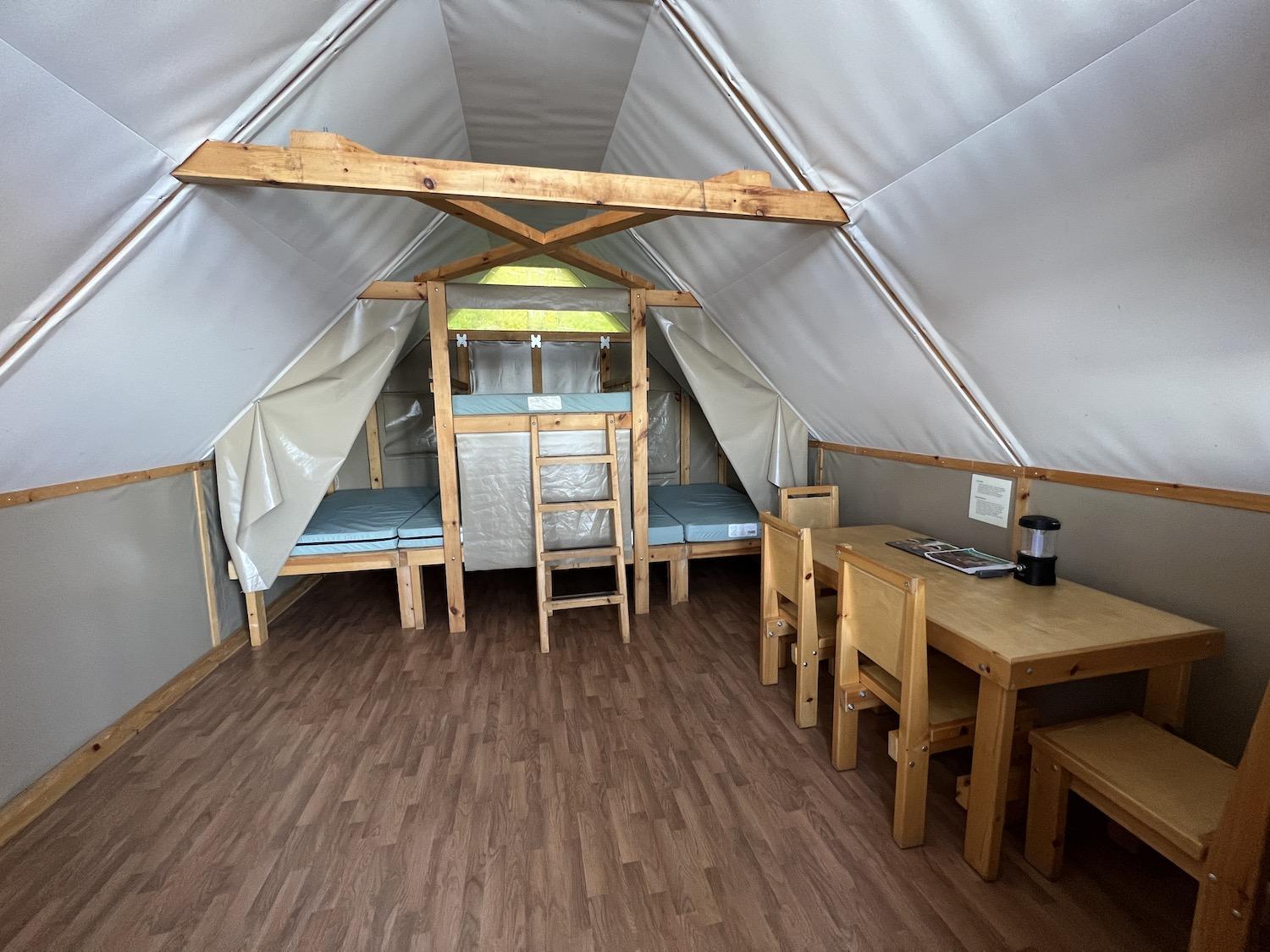
Inside my oTENTik, a form of roofed accommodation at Parks Canada sites/Jennifer Bain
Wandering the trails near my oTENTik before it gets too dark and too cold, I admire some of the dozen-odd stone fireplace ovens that were reportedly built throughout the park in the 1950s to bring people together over fire. Some people have a ritual of coming every Thanksgiving and cooking their turkeys in the outdoor ovens.
I also make a short pilgrimage to the park’s most photographed spot — Giant’s Chair.
Theories abound on how, when and why the rocks were forged together into the shape of a chair, but I like the story Lavin tells about "stonehookers" who once gathered stone slabs along Ontario's lakes for the construction industry and may have left pieces of rock lying on the land until local stone masons working on the island took it upon themselves to bind the pieces together.
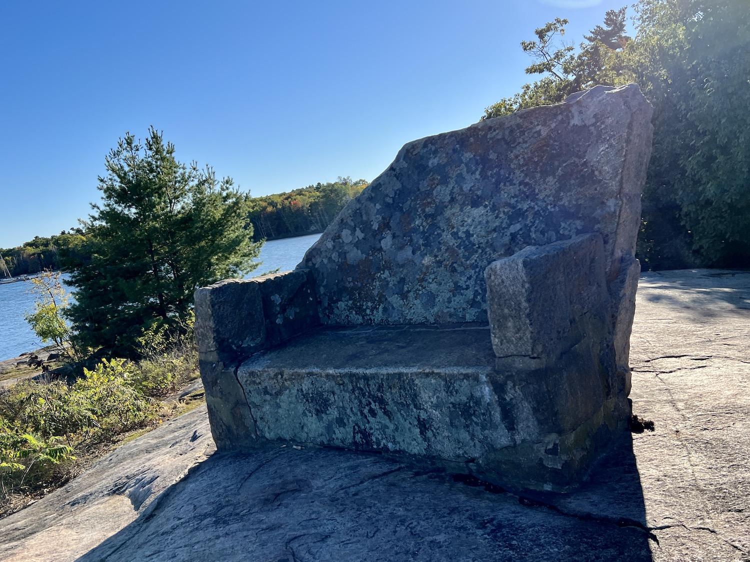
The story behind who put Giant's Chair together, when and why is shrouded in mystery/Jennifer Bain
What I do know as fact comes from one fading sign that says when Banff National Park became Canada’s first national park in 1885, it popularized the use of boulders and intricate stonework for everything from walkways to buildings across the nation. Evidence of that era remains here with things such as a stone walkway to what was once the park superintendent’s house.
But the story that unfolds on the southern end of Beausoleil is really about how the island earned its national historic site designation in 2011 due to its significance as a cultural landscape and the fact that people have visited or occupied it for 5,500 years. Used by various Indigenous Peoples as a traditional stopping place, seasonal campsite and even a reserve, it’s named for Louis Beausoleil, a Métis settler whose 1819 homestead once stood at the island’s southern tip.
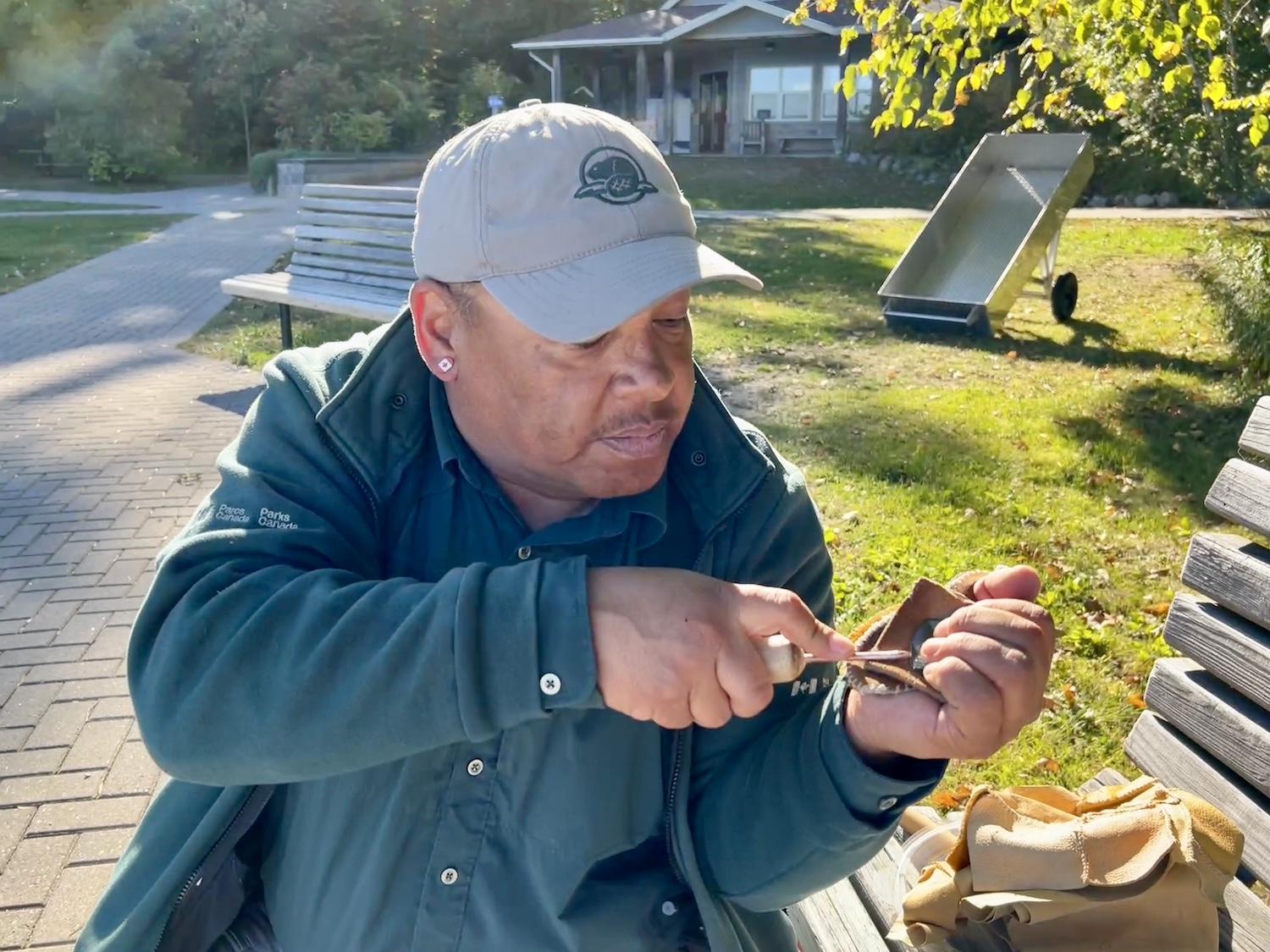
Indigenous liaison officer Shawn Corbiere demonstrates flint knapping/Jennifer Bain
Shawn Corbiere, the park’s Indigenous liaison officer, takes me on a medicine walk, sharing how the Georgian Bay region was considered “a land of plenty” because of all the fish, nuts and plants.
Poison ivy, he says, “is one of the oldest forms of chemical warfare” because it would be burned so the toxic fumes would harm or even kill enemies. Eastern white cedar is a sacred tree that makes a great tea. The bark of heart-leaved willow contains something as effective as Aspirin. Cattails were considered a “grocery store” because they can be eaten, and their fluff used as stuffing or insulation.
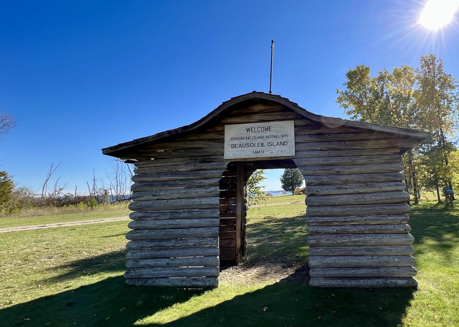
The park's original wooden welcome gateway still stands/Jennifer Bain
Corbiere shows his flint knapping skills and talks about how his art of making stone tools demonstration is poised to become one of the park’s signature programs, albeit now with man-made glass. “It’s my duty to learn and share, pass it on to our folks who lost the art," Corbiere says. "That’s my job until I die to heal and pass on this knowledge.”
Near a medicine garden created to grow sage, sweetgrass, cedar and tobacco, Corbiere lets me try an atlatl (apaginaatig atatawiin or “the stick that throws the arrow”) that predates the bow and arrow. We stand in a grassy clearing that is poised to become a cultural sharing space. It's also the site of a small yet elaborate wood entry arch that once welcomed people to the park. As people left through the same arch, they were asked to "come again to this beautiful island" and were left with two final words — sunshine and happiness.
Of course, it wasn't all sunshine and happiness here.
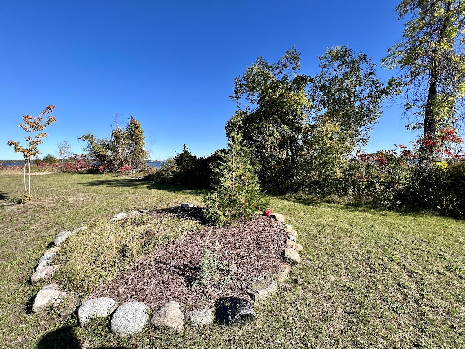
A medicine garden, at the end of the growing season, on the island's south end/Jennifer Bain
Beausoleil has born witness to a long history of the Anishinaabe presence in southern Ontario and their subsequent displacement. It’s the setting for traditional narratives that record the island’s creation and meaning. The park’s new management plan says “the evolving landscape of the island includes evidence of ancient camps and of its brief period as a reserve in the mid-19th century when the Anishinaabeg struggled to find a new way to live that was compatible with their traditions and with the rapidly growing Euro-Canadian settlement around them."
For that chapter of the island's story, Corbiere takes me to what's known as the Cemetery of the Oak, even though the aged oak in question had to be removed.
What's also called Ngohkaan or the Anishinaabe Cemetery operated from 1836 to 1939 and a plaque lists the names of nearly 60 former residents who are believed to be buried here. As Corbiere tells it, in 1836, about 200 people from a nearby First Nation were forcibly relocated from prime growing land to Beausoleil under Chief John Assance. They formed a village, complete with a church, and tried to farm, but the soil was poor and eventually they moved again to Christian Island where they remain as Beausoleil First Nation.
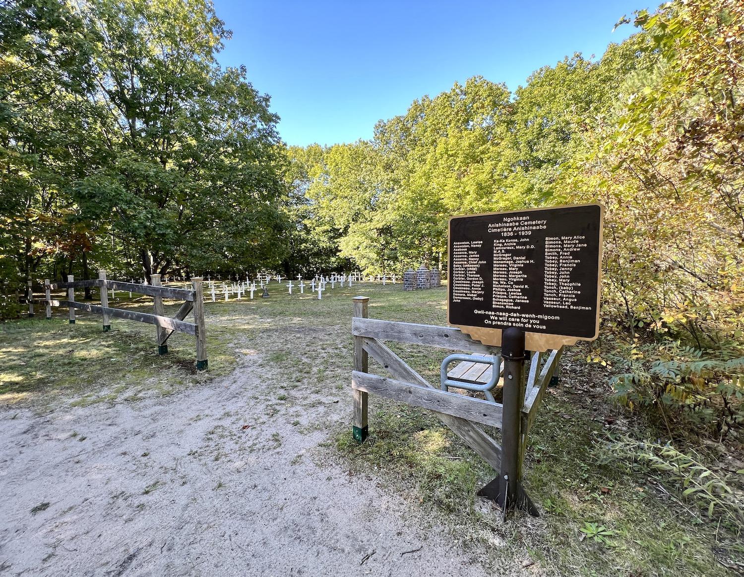
The Cemetery of the Oak is on Beausoleil's south end/Jennifer Bain
In 1932, Parks Canada, along with descendants, church and town officials, identified the burials and restored grave markers, gate pillars and a fence. The fence was repositioned in 2013 when more graves were revealed outside the original fence.
Today the cemetery is dotted with simple white markers. Lying at the foot of Assance's grave is a fresh offering that includes a yellow apple, garden cucumber and sunflower. A necklace with a tiny copper pot hangs from the marker, which simply says "Chief Assance."
The shiny, trilingual sign at the graveyard's entrance has something more to say to the island's early citizens. In Anishinaabemowin, English and French it promises "We will care for you."


Add comment