
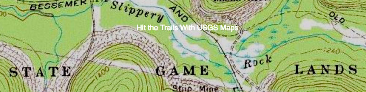
Long before National Geographic came up with its Trails Illustrated series of maps to the National Park System, the U.S. Geological Survey was cranking out topographic maps to the parks. Today, the USGS map collection is just getting larger.
Updated US Topo maps and other mapping products now make the planning, plotting and navigation of that next outing easier. Recent partnerships with other federal, state and non-governmental, and commercial organizations have allowed the USGS digital topographic maps to feature additional trails and major recreation points of interest.
Collecting Trail Data From Partners
The USGS has become an aggregator of national level trails and recreational features. The mapping division of the USGS, the National Geospatial Program, has been seeking and leveraging partnerships with other agencies and organizations by making their data available through USGS mapping products and services. These contributions and collaborative efforts have resulted in the addition of more than 127,455 miles of diverse government-maintained trails to the nation’s topographic base maps. The federal and state input includes:
- 77,548 miles of trails from the U.S. Forest Service
- 14,923 miles of trails from the National Park Service
- 9,027 miles of trails from the Michigan Department of Natural Resources.
- 4,567 miles of trails from the U.S. Fish and Wildlife Service
- 2,491 trails from the West Virginia Geographic Information System (GIS) Technical Center
- 716 miles of trails from the Alaska Department of Natural Resources
- 621 miles of trails from the Colorado Department of Natural Resources
- 479 miles of trails, mostly in the Rocky Mountain states, from the Bureau of Land Management
As the collection, formatting, and distribution of this data continues, more cooperation with federal, state, and local agencies is expected to increase -– and greatly add to a national database.
National Scenic Trails
There are 11 major trail systems that have been designated as a National Scenic Trail. However, there is no national-level coordination of these trails or their map data. The USGS NGP has formed partnerships with many diverse governmental and non-governmental agencies to obtain all relevant data and portray those labeled trail segments on state maps as they are revised.
National Scenic Trails that have been added to USGS map products:
- Appalachian National Scenic Trail
- Ice Age National Scenic Trail
- Pacific Northwest National Scenic Trail
- North Country National Scenic Trail
- Pacific Crest National Scenic Trail
- Arizona National Scenic Trail
- Natchez Trace National Scenic Trail
- New England National Scenic Trail
- Continental Divide National Scenic Trail
- Florida National Scenic Trail
The total of these trail segments placed on US Topo quadrangles is more than 13,100 miles. The remaining NST awaiting production is the Potomac Heritage National Scenic Trail. The US Topo mapping program is working hard to obtain that data as well as update other trails as new information is provided.
Story Categories:
A copy of National Parks Traveler's financial statements may be obtained by sending a stamped, self-addressed envelope to: National Parks Traveler, P.O. Box 980452, Park City, Utah 84098. National Parks Traveler was formed in the state of Utah for the purpose of informing and educating about national parks and protected areas.
Residents of the following states may obtain a copy of our financial and additional information as stated below:
- Florida: A COPY OF THE OFFICIAL REGISTRATION AND FINANCIAL INFORMATION FOR NATIONAL PARKS TRAVELER, (REGISTRATION NO. CH 51659), MAY BE OBTAINED FROM THE DIVISION OF CONSUMER SERVICES BY CALLING 800-435-7352 OR VISITING THEIR WEBSITE. REGISTRATION DOES NOT IMPLY ENDORSEMENT, APPROVAL, OR RECOMMENDATION BY THE STATE.
- Georgia: A full and fair description of the programs and financial statement summary of National Parks Traveler is available upon request at the office and phone number indicated above.
- Maryland: Documents and information submitted under the Maryland Solicitations Act are also available, for the cost of postage and copies, from the Secretary of State, State House, Annapolis, MD 21401 (410-974-5534).
- North Carolina: Financial information about this organization and a copy of its license are available from the State Solicitation Licensing Branch at 888-830-4989 or 919-807-2214. The license is not an endorsement by the State.
- Pennsylvania: The official registration and financial information of National Parks Traveler may be obtained from the Pennsylvania Department of State by calling 800-732-0999. Registration does not imply endorsement.
- Virginia: Financial statements are available from the Virginia Department of Agriculture and Consumer Services, 102 Governor Street, Richmond, Virginia 23219.
- Washington: National Parks Traveler is registered with Washington State’s Charities Program as required by law and additional information is available by calling 800-332-4483 or visiting www.sos.wa.gov/charities, or on file at Charities Division, Office of the Secretary of State, State of Washington, Olympia, WA 98504.
INN Member

The easiest way to explore RV-friendly National Park campgrounds.

Here’s the definitive guide to National Park System campgrounds where RVers can park their rigs.
Our app is packed with RVing- specific details on more than 250 campgrounds in more than 70 national parks.
You’ll also find stories about RVing in the parks, tips helpful if you’ve just recently become an RVer, and useful planning suggestions.

