A series of prescribed fires in Cades Cove is expected to cover nearly 700 acres/NPS
Flames are scheduled to begin creeping across nearly 700 acres in Cades Cove at Great Smoky Mountains National Park this weekend as crews stage a series of burns to reduce fuels, restore meadow habitats, and maintain the cove's historic appearance.
Park crews along with Appalachian-Piedmont-Coastal Zone fire management staff plan to burn approximately 689 acres of fields in Cades Cove. Weather permitting, burn operations will occur between Saturday and Wednesday, November 25.
Over the last 20 years, park managers have conducted these burns during the spring and fall under specific prescription parameters. Park staff closely monitor fire weather conditions, including vegetation and soil moisture, wind speed and direction, temperature, and relative humidity to ensure that conditions meet the burn plan objectives for the site.
These seasonal controlled burns help perpetuate native herbaceous species that provide high quality cover and foraging opportunities for a diversity of wildlife including deer, turkeys, and ground nesting birds.
The park's acting fire management officer, Shane Paxton, said there should be "ample opportunities for viewing the burn operations exist in Cades Cove for the public.”
Visitors should expect to see firefighters and equipment along Sparks Lane, Hyatt Lane, and the western end of the Cades Cove Loop Road. The loop road and historic structures will remain open to visitor use, but brief delays and temporary closures may occur to ensure public safety during burn operations.
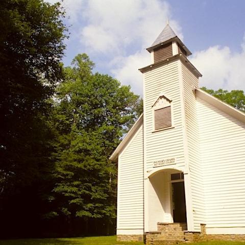
Specifically, the crew plans to burn the following units depicted in orange on the above map: 58-acre field near the Methodist Church, 33-acre Upper Tater Branch field, 226-acre Hyatt Lane Increase Fields, 323-acre Hyatt Lane/Primitive Baptist Church field, and 49-acre Rowans Branch field.
Visitors should also expect to see fire activity and smoke during prescribed burn operations. Fire managers ask that motorists reduce speed in work zones, but refrain from stopping in the roadways. If smoke is present, motorists should roll up windows and turn on headlights.


 Support Essential Coverage of Essential Places


