The Blue Ridge Parkway, America's most-visited park unit, is a beautiful road to drive. Most visitors just enjoy the scenery from their cars and get out to photograph the panoramas at the overlooks.
But the road is also a great base from which to hike. Miles of trail take off from the Blue Ridge Parkway and go into the woods to waterfalls, views, and historic artifacts.
You can just step out of your vehicle and walk less than a tenth-of-a-mile to a viewpoint, or you can hike 10.6 strenuous miles on the Rock Castle Gorge Trail from Milepost 167.1. In North Carolina, the Mountains-to-Sea Trail crisscrosses the Parkway from Great Smoky Mountains National Park to the Virginia border. In Virginia, the Appalachian Trail can be accessed from many stops on the Parkway until the road reaches its northernmost point at the southern entrance of Shenandoah National Park.
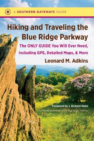
Leonard Adkins, a veteran hiker and guidebook author known as the Habitual Hiker, has walked the Appalachian Trail five times. He's the perfect guide to take you on the Blue Ridge Parkway. His new book, Hiking and Traveling the Blue Ridge Parkway, details every hike off the Parkway.
Details And More Details
Mr. Adkins presents each hike step-by-step in a methodical manner. A guidebook has to be accurate and thorough, and the author accomplishes those tasks. Each hike entry has information on the milepost number, GPS coordinates, and altitude at the trailhead. The hike description includes length, and the author's assessment of the difficulty and whether it's a particularly recommended hike.
The book allows readers to find the trail, assess if they are embarking on an easy, moderate, or strenuous hike. Mr. Adkins puts the hike in context. Why would you want to do this hike? Is it for the view, prolific wildflowers, or a historic site? Here's a partial description of the Snowball Mountain Trail (milepost 367.6).
Within a few hundred feet, turn right onto the (possibly) unmarked Snowball Mountain Trail. It's a steady but well-graded ascent of a little less than a mile to the summit of Big Snowball Mountain with a view of the Black Mountains.
However, the author realizes that people traveling the Parkway are going to want to stop at overlooks. Even locals like me stop periodically and take in the views on a way to a hike. So, interspersed between the hikes, the book describes the landscape at the overlooks and identifies the mountains, something that is most important whether you're local or a visitor.
Mile 372.1 Lanes Pinnacle Overlook (3,890 feet)
Lanes Pinnacle is to the left in the view, with the upper elevations of the Great Craggy Mountains visible behind the ridgeline. The mountains to the far right are the Swannanoas.
The author loves numbers. He doesn't just give us trail distances one-way but he saves us the trouble of doing the arithmetic by doubling the length for an out-and-back hike. He's researched the length of the Parkway tunnels, the height of tunnels--important if you're driving a large vehicle-- and the elevation at the overlook. The cyclist is not forgotten. Appendix F details the total elevation climbed between mileposts, both north-bound and south-bound. So why, oh why, didn't he include the total elevation for each hike?
Good maps and some black-and-white photographs enhance the book. Mr. Adkins lists every feature on the Parkway along with its milepost number, all the inns and campgrounds, as well as a roadside bloom calendar. Visitors will enjoy knowing about the downtown Asheville Urban Trail, a 1.7-mile route that meanders downtown Asheville past various pieces of sculptures.
If I have one objection to this well-written guide, it's that the author labels too many hikes as strenuous. For example, Mr. Adkins describes Snooks Nose Trail at Milepost 350.4, an eight-mile roundtrip, as not receiving regular maintenance and hard to locate. I've hiked this trail several times, and it's a tough hike. Further south at Milepost 470.7, the 2.5-mile roundtrip hike up to Mt. Pisgah, on a clear, well-marked trail, is also rated as strenuous. Hikers will have to decide what strenuous means to them.
Readers are supposed to use guidebooks. I've referred back to the last edition of this book, entitled Walking the Blue Ridge, for years. The pages are dog-eared, underlined, and highlighted. Now there's a new book that I will soon love to death as well.


