If all you're intending during your visit to Death Valley National Park is to stay on the main roads, then navigating this huge landscape is easy. If you're thinking of being a little adventurous, with treks to the Racetrack or perhaps the Ibex Dunes, well, things get a little more challenging.
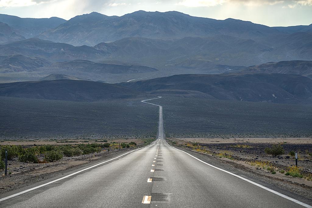
The road crossing Panamint Valley, Death Valley National Park / Rebecca Latson
In general, the main, paved routes in Death Valley -- Routes 267, 190, and 178 -- form a rough looking 'X,' which is centered just to the east of Stovepipe Wells. From that intersection, 267 runs north to Scotty's Castle and Ubehebe Crater, 190 runs west to Panamint Springs and on out of the park to Lone Pine as well as East from Furnace Creek to Zabriskie Point and out of the park to Death Valley Junction, California, while 178 runs south through Furnace Creek and on down to Badwater and into the Black Mountains and out of the park via Salsberry Pass.
Stay on those paved routes, and you'll only have to concern yourself with watching your gas and temperature gauges. Speaking of gas, Furnace Creek is the closest location to refuel your gasoline-powered vehicle. There are other gas stations at Panamint Springs and Pahrump. If you are driving an electric vehicle (EV), a 2019 National Park Service news release announced the installation of six EV charging stations at the Oasis at Death Valley. For current conditions, EV drivers are urged to contact The Oasis at Death Valley directly at 760-786-2345. Plugshare.com reports of two EV charging stations located next to the Ranch at Death Valley as well as chargers in Panamint Springs. What appears to be EV charging stations next to the Furnace Creek Campground are not operational and the NPS warns of damage to your EV car as well as the campground's electrical system should you attempt to use any of the chargers. Pahrump Valley Auto Plaza, in Pahrump, Nevada, 60 miles (96.6 km) from Furnace Creek, California, offers a charging station.
Wandering off of Route 267 north of the intersection are roads that lead up through Titus Canyon and off to Mesquite Spring Campground. Just past the campground you can veer right towards Grapevine Canyon and Scotty's Castle, or veer left and head to Ubehebe Crater. Beyond Ubehebe Crater is the jouncing, teeth-and-bone shaking dirt track that leads to the Racetrack.
Go west of the intersection on 190 and you'll find the turnoff to the Emigrant Campground, high desertscape, and, eventually, Panamint Springs Resort. From there you can veer off onto the Panamint Valley Road that leads you further into the park's backcountry and the trailhead to Telescope Peak as well as the Wildrose, Thorndike, and Maghogany Flat campgrounds.
If you head south of the intersection on 178, you'll find your way to the Harmony Borax Works exhibit, the Sunset and Texas Springs campground, and the sprawling Furnace Creek complex. Further on down, the road brings you to the Golden Canyon Interpretive Trail, Artists Palette, Devils Golf Course, Natural Bridge, and Badwater.
Head south on 190 just past Zabriskie Point and you'll see the right-hand turnoff to drive through Twenty Mule Team Canyon, where parts of Star Wars Episode VI: Return of the Jedi were filmed.

The road through Twenty Mule Team Canyon, Death Valley National Park / Rebecca Latson


