There are 355 miles (571.3 kilometers) of hiking trails within Rocky Mountain National Park in Colorado, so there is something for everyone, from flat, leisurely hikes to more strenuous mountain treks. Some of these trails are accessible for the mobility-impaired and several trails may be hiked even during the cold, snowy months of winter.

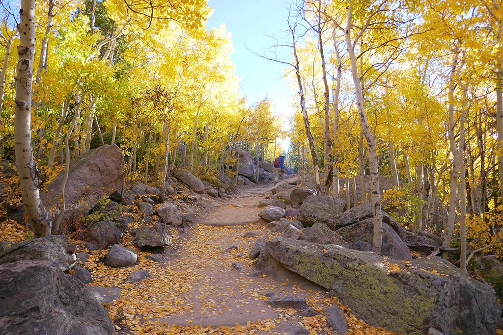
An autumn hike to Bear Lake, Rocky Mountain National Park / NPS-Karen Daugherty
Prior to your park visit and intended hike, it’s a good idea to check not only Area Closures but also Trail Conditions.
You are hiking in a high-elevation park with a range of elevations between 7,500 feet (2,286 meters) to over 12,000 feet (3,657.6 meters). Know your fitness level and physical capabilities. Also remember to take plenty of water with you, as well as salty snacks to replace salt lost through sweat. It may not feel hot and you may not necessarily feel thirsty, but hiking at high elevation means the air is drier and thinner and your chances of dehydration are amplified due to increased water evaporation from your lungs.
Be aware of altitude sickness if you are visiting the park from a lower elevation. This can affect anybody - regardless of fitness level - who is not used to higher elevations. Symptoms include headaches, shortness of breath, insomnia, and rapid heartbeat. After a few days your body will have made some physiological adjustments to higher elevations, but full acclimation may take weeks. To minimize symptoms drink plenty of fluids, avoid alcohol, don't skip meals and get plenty of rest.
The higher you ascend within this park, the stronger the ultraviolet becomes since there is less atmosphere mitigating the effects of sunlight. Wear a hat and sunscreen and take along sunglasses.
The available hiking trails at Rocky Mountain National Park are too numerous to list here, but you can click on this list of hiking trails to see the distances, elevation gains, and descriptions of these trails.
If you plan to climb the popular Longs Peak Trail, you should visit the Keyhole Route page. Note, this is a climb - a classic mountaineering route – and not a regular trail hike. From the Longs Peak Trailhead to the summit of Longs Peak along the Keyhole Route is 7.5 miles (12.1 kilometers). The actual Keyhole Route begins after the Boulder Field. The last 1.5 miles (2.4 kilometers) is by far the most difficult, exposed, and hazardous portion of the route.
Park staff also have a few hiking trail suggestions that might help you decide where to explore during your visit.

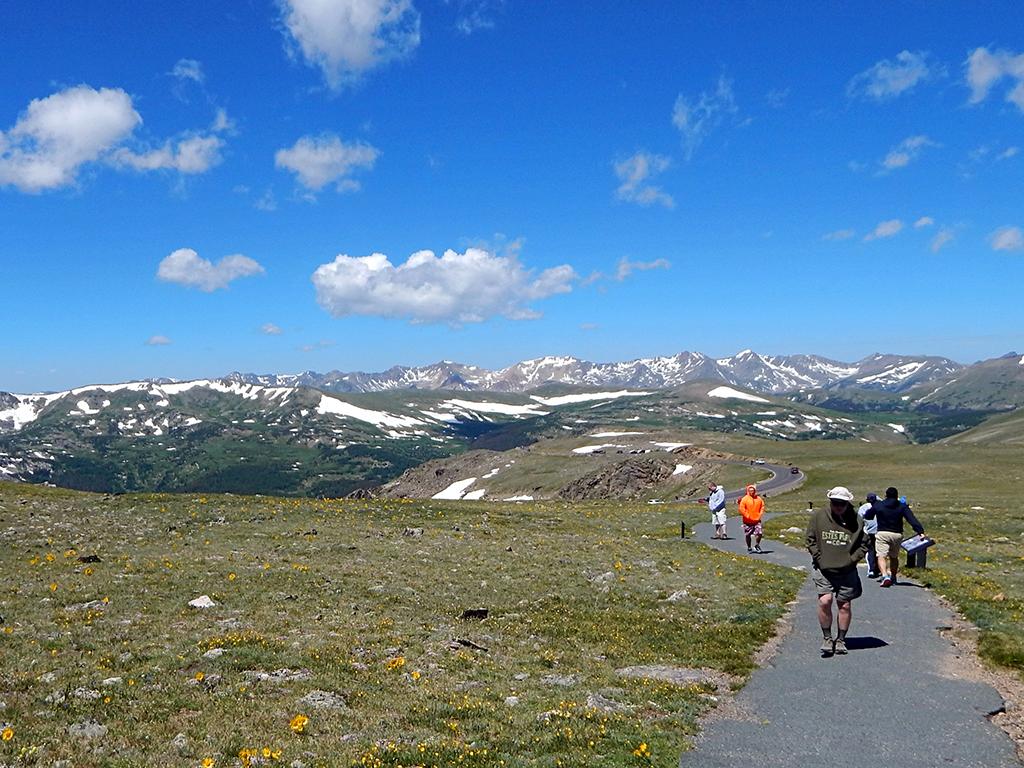
Hikers on the Tundra Communities Trail, Rocky Mountain National Park / NPS-Rachel Williams
Accessible Trails
If mobility is an issue for you, check out the following accessible trails provided within the park.
Coyote Valley Trail Kawuneeche, the Arapaho word for coyote, was the name given to this gentle valley of the Upper Colorado River. Elk and moose are sometimes sighted from the one-mile (1.62-kilometer) trail, especially during the early morning and early evening hours. Located on the west side of the park, five miles north of the Kawuneeche Visitor Center.
Sprague Lake Abner Sprague homesteaded in this area more than a century ago and created a trout pond by damming a stream. Sprague also undoubtedly appreciated the breathtaking views of the Continental Divide, which are best seen from this half-mile-long (0.8-kilometer) trail at the far end of the lake. An accessible backcountry camping site is located in the area. Located on Bear Lake Road, one mile (1.62 kilometers) west of the Park and Ride shuttle bus parking lot.
Lily Lake Enos Mills, the "father of Rocky Mountain National Park," enjoyed walking to Lily Lake from his nearby cabin. Check along the mile-long (1.62-kilometer) trail through this relatively low-elevation area for wildflowers in the spring and early summer. Located six miles (9.7 kilometers) south of the town of Estes Park on Highway 7.
Bear Lake Tucked into the spruce/fir forest at the base of Hallett Peak and Flattop Mountain, this 0.6-mile (0.97-kilometer) loop is one of Rocky's most famous trails. Unlike other listed trails, Bear Lake is not entirely flat and is a more challenging route. Located at the end of Bear Lake Road, eleven miles from the Beaver Meadows Visitor Center.
Holzwarth Historic Site Explore a historic homestead cabin and 1920's dude ranch located in the beautiful Kawuneeche Valley. This is a 1-mile (1.62-kilometer) round trip walk. Brochures, signs & tours available. Located 8 miles north of Kawuneeche Visitor Center on Highway 34.
A good place to look for information on accessibility is the Disabled Traveler's Companion website. Working in cooperation with Rocky Mountain National Park and other National Parks to provide valuable trip planning assistance to disabled travelers, this website contains information and photographs which may help you plan your visit to Rocky Mountain National Park.
Winter Hiking
Of the hikes available during the winter, below is a quick rundown of park staff-suggested trails. For more detailed information on each of these trails, click the header above.
The Pool
Distance one-way: 2.5 miles (4 kilometers)
Elevation change: 200 feet (61 meters)
Difficulty: Easy
The Pool is a turbulent water pocket formed below the confluences of Spruce and Fern Creeks with the Big Thompson River. The winter route is along a gravel road, which soon narrows to a trail at the Fern Lake Trailhead.
Cub Lake
Distance one-way: 2.3 miles (3.7 kilometers)
Elevation change: 540 feet (165 meters)
Difficulty: Moderate
Ice or deep snow sometimes makes the last mile difficult, and may require the use of skis or snowshoes. This hike may be combined with The Pool hike for a six mile loop by taking a connection trail beyond Cub Lake to The Pool. This section of trail may also contain deep snow or ice.
Chasm Falls
Distance one-way: 2.5 miles (4 kilometers)
Elevation change: 400 feet (122 meters)
Difficulty: Moderate
Along the way, you pass the remains of cabins used by the prison laborers who built Old Fall River Road early in the century. At the road junction, take the right fork and continue up Old Fall River Road one mile to the falls. Upon reaching Chasm Falls notice beautiful, but dangerous, ice formations. Negotiate this zone with caution.
Gem Lake
Distance one-way: 1.6 miles (2.6 kilometers)
Elevation change: 1,000 feet (305 meters)
Difficulty: Moderate
The shallow waters of Gem Lake are cradled high among the rounded granite domes of Lumpy Ridge. Untouched by glaciation, this outcrop of 1.8-billion-year-old granite has been sculpted by wind and chemical erosion into a backbone-like ridge. Signs of these erosional forces--pillars, potholes, and balanced rocks--appear midway along the trail to Gem Lake. Other highpoints include spectacular views of the Estes Valley and Continental Divide, and a curious balanced rock called Paul Bunyan's Boot.
Deer Mountain
Distance one-way: 3 miles (4.8 kilometers)
Elevation change: 1,075 feet (~ 328 meters)
Difficulty: Strenuous
The hike to the summit plateau offers spectacular views of the Continental Divide. While the lower trail generally has little snow, you can expect packed and drifted snow on the switchbacks. Snow cover on the summit may be three to five feet deep, making snowshoes or skis necessary for safe travel.
Upper Beaver Meadows
Distance one-way: 1.5 miles (2.4 kilometers)
Elevation change: 140 feet (~ 43 meters)
Difficulty: Easy
Hiking along the trail, you may see elk bedded down among trees near the trail or along the stream.


