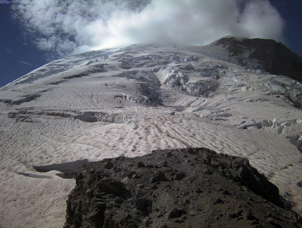
A shot of the cloud over Mount Rainier on Wednesday/NPS
A cloud hugging the top of Mount Rainier, an active volcano, prompted concern in the greater Seattle metro area Wednesday that the mountain was erupting and led the National Park Service and U.S. Geological Survey to assure the public that there was no ongoing eruption.
In a social media post late Wednesday morning, staff at Mount Rainier National Park stated that, "Mount Rainier is NOT erupting. We have looked at the cloud that has caused concern from multiple webcams and have determined that it is a lenticular cloud. In addition, the USGS reports no indications of unusual seismic activity."
"A new vent has NOT opened on the volcano," the park said later in a news release. "After looking at the data we collect, the USGS seismic network does not show any unusual levels of activity coming from Mount Rainier. We have coordinated with our colleagues at the National Park Service and their boots-on-the-ground experts are suggesting it is a lenticular cloud, a very interesting cloud formation at Mount Rainier. Lenticular clouds are often formed when moist air is pushed up and over the top of a mountain, forming a disc-shaped cloud."
The cloud, the release added, was created by a passing weather front.
"By coincidence, there are USGS Cascades Volcano Observatory field teams at Mount Rainier this week to install a new volcano monitoring station," the park staff noted. "They have also confirmed that there has been no new activity."
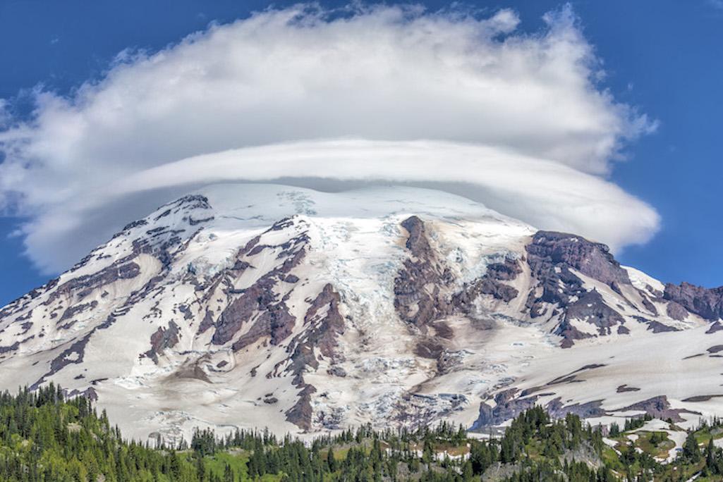
Traveler Contributing Photographer Rebecca Latson in the past captured this shot of a lenticular cloud over the mountain/Rebecca Latson
September happens to be "Prepardness Month" for the park.
"This is a good opportunity to think about how you can prepare for the next event, volcanic or otherwise," the park release said. "USGS provides information that can help our communities prepare for and respond to, natural hazards such as volcanic eruptions and lahars, early earthquake warning systems, floods, tsunamis, and weather-related events associated with climate change. Please visit USGS.gov for more information."
View Mount Rainier National Park webcams: https://www.nps.gov/mora/learn/photosmultimedia/webcams.htm
View recent seismic activity from the Pacific Northwest Seismic Network: https://pnsn.org/volcanoes/mount-rainier
Sign up to receive email notifications of activity at Cascade Range volcanoes (including Mount Rainier) through the USGS Volcano Notification System: https://volcanoes.usgs.gov/vns2


Add comment