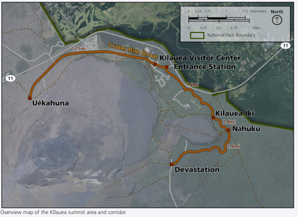
A map showing the Kīlauea summit and corridor area from Uēkahuna to Devastation/NPS
Hawaiʻi Volcanoes National Park is seeking public input on a plan that will address congestion, safety, resource protection, and improve the visitor experience in the busy Kīlauea summit area.
The Kīlauea Summit Area and Corridor Management Plan will identify management strategies and solutions to reduce conflicts among cars, buses, motorcycles, bicyclists (including e-bikes) and pedestrians on park roads and trails that traverse the popular and often-crowded summit of Kīlauea volcano, according to the National Park Service.
“We want to hear from those who hold a deep connection to the park, who participate in cultural protocol, and who recreate or conduct business here. Your voice matters and will help park management develop solutions to the many problems overcrowding has created,” said Hawaiʻi Volcanoes Superintendent Rhonda Loh.
An online newsletter describes the desired conditions of the project, the issues the plan will address, and project goals, and will be available for comment at https://parkplanning.nps.gov/kilaueasummitcmp.
The public comment period ends March 22. This comment period is the initial phase of the plan and future opportunities to provide input will be announced as the plan develops.
Since 2008, following the first significant summit eruption since 1924, park visitation has soared, with most visitors drawn to areas between Uēkahuna and Devastation, including Nāhuku lava tube, Kīlauea Iki, Kīlauea Visitor Center, the entrance station and the overall summit corridor. The high concentration of vehicles and people in a relatively small area often results in full parking lots, lines of traffic at the entrance station, crowded overlooks and frustrated visitors.
Major damage to Crater Rim Drive and the loss of buildings and infrastructure during the 2018 Kīlauea eruption and summit collapse has exacerbated park congestion, especially during the busy winter and summer holiday travel seasons. The park lost Jaggar Museum, a portion of Crater Rim Drive, Halema’uma’u Overlook and ‘Iliahi Trail due to the eruptive events that year.
The need for, and development of, a Kīlauea summit site plan was included in the Hawaiʻi Volcanoes National Park 2016 General Management Plan


