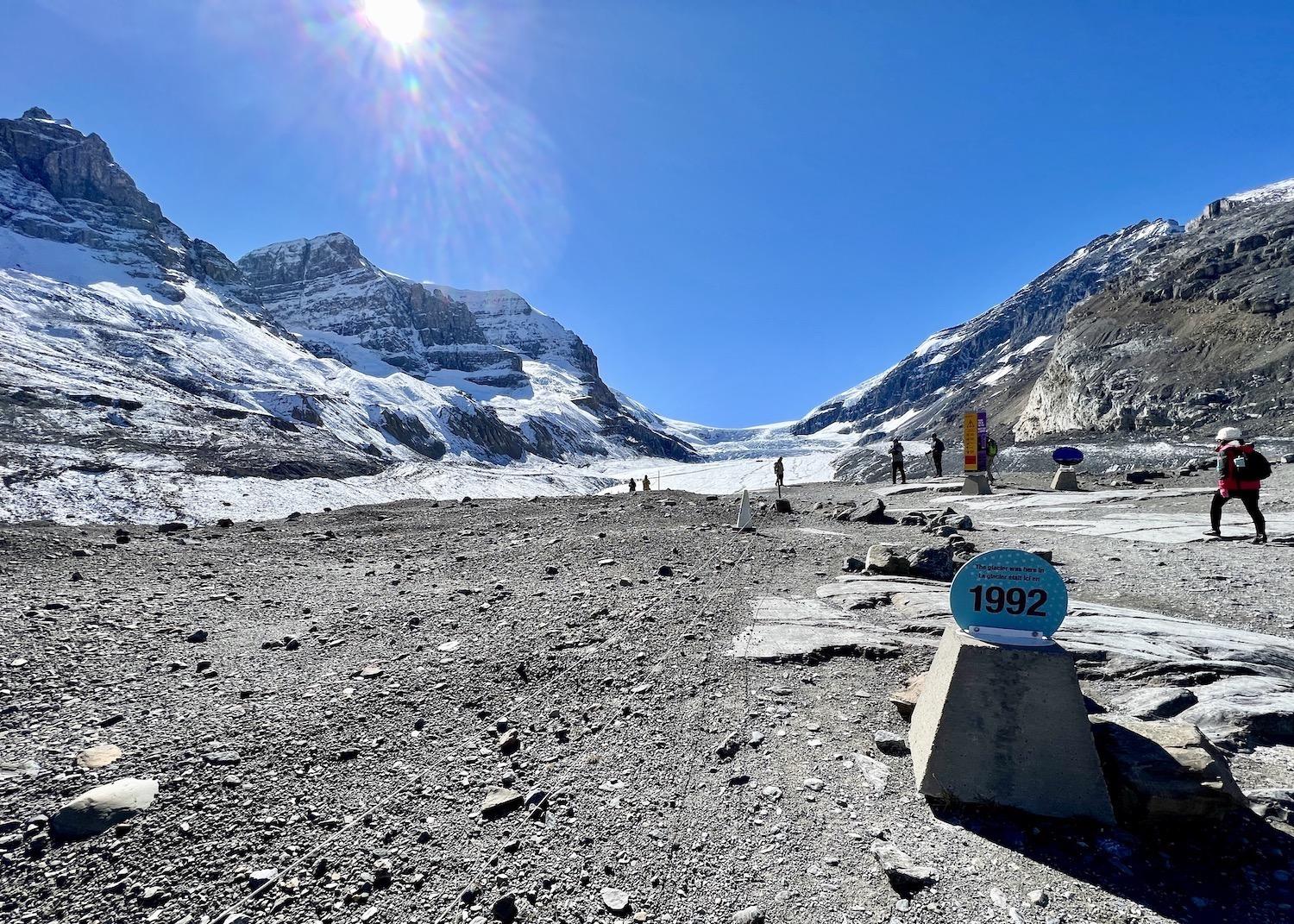
A small sign marks where the Athabasca Glacier was in 1992, as visitors walk freely on the right and visitors with guides access a restricted area on the left/Jennifer Bain
An Indigenous-Led Tour Of The Athabasca Glacier
By Jennifer Bain
In the euphoria of crossing glacial till to the largest mass of glacial ice in the Canadian Rockies, you could be forgiven for walking blithely past the small sign with the sombre message: “The glacier was here in 1982.” Scrambling over the rocky landscape closer to the Athabasca Glacier and finally pulling ice cleats over your boots, you may miss another sign at ground level that says “the glacier was here in 1992.”
The Athabasca Glacier is one of six glaciers attached to the Columbia Icefield here in Alberta’s Jasper National Park. It’s tucked into a spectacular U-shaped valley surrounded by Mount Wilcox, Mount Athabasca, Mount Andromeda and Mount Snow Dome, and its melt water flows into rivers that supply people, farms and ecosystems with water.
We take a moment to acknowledge each mountain, giving special attention to Mount Snow Dome because it’s one of just two hydrological apexes in North America where water flows into three different oceans. Its peak is the intersection of the Continental Divide and the Arctic Divide and so snowflakes here may melt into water that flows through rivers and west to the Pacific Ocean, north to the Arctic Ocean or east to Hudson Bay and into the Atlantic Ocean. (The other apex is Triple Divide Peak in Montana’s Glacier National Park.)
We’re here to look at this glacier, and these mountains, through an Indigenous lens and so one of the first things that interpretive guide Tim Patterson shares is that the Shuswap, Kootenay (Ktunaxa), Kootenai from the United States, Cree (Nêhiyawak), Blackfoot (Niitsitapi), Stoney Nakoda and Métis have all moved through this area before and after contact with European settlers.
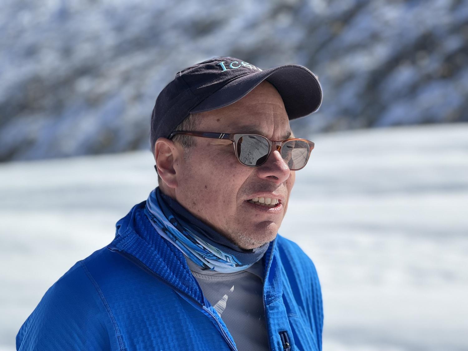
Zucmin Guiding owner Tim Patterson partners with IceWalks to offer an Indigenous perspective on the Columbia Icefields and Athabasca Glacier/Jennifer Bain
“The mountains are what would be identified as the domain of the Mountain Spirit, and that’s within oral history,” explains the Calgary-based owner and lead guide of Indigenous adventure tourism company Zucmin Guiding. “Just like you have layers that built these mountains, we also have cultural layers. So, no one group can take possession or take ownership. Even within our language, there is no such thing. The idea of territory is an imposed notion. There was traditional use, but never traditional territory.”
Families, and sometimes individuals, came to these alpine and sub-alpine areas to harvest foods and medicines as well as to hunt mountain goats, whose hides were turned into robes or capes. They developed specific knowledge of these mountains and its animals, just as Indigenous people in neighboring regions learned to hunt bison and marmot instead of mountain goats.
There is not just one Indigenous story here.
“The Cree do not have one story about the mountains. The Blackfoot do not have one story about the mountains,” says Patterson. “It’s an individual story. It’s a community story. It’s a family story. It’s a historical story of how the Cree of the Blackfoot bumped up against the railroad or bumped up against (fur) trading or bumped up against Parks (Canada). And then you get into the mythical stories, and then you get into the creation stories.”
This “cultural layering” — as he calls it — embraces all these stories, experiences and practices, and creates "thick places."
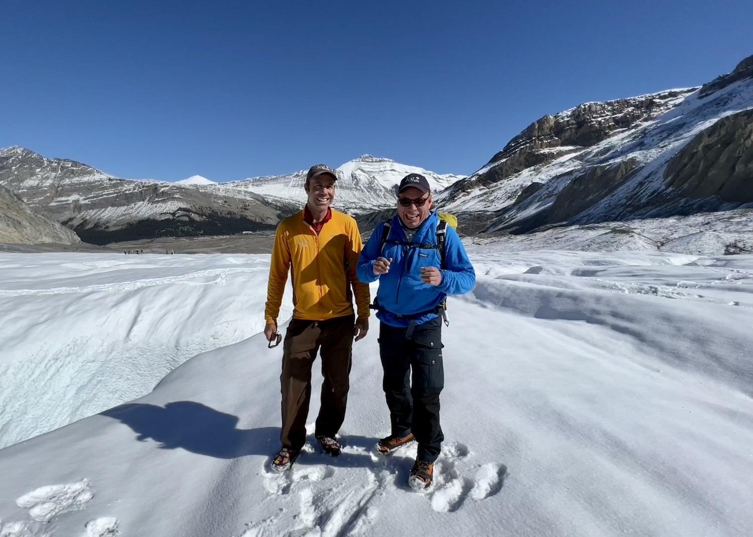
IceWalk's Corin Lohmann and Zucmin Guiding's Tim Patterson stand on the Athabasca Glacier in Jasper National Park, Alberta/Jennifer Bain
Patterson was born Morris Coutlee of the Lower Nicola Indian Band that belongs to the Scw̓éxmx ("People of the Creeks"), a branch of the Nlaka'pamux (Thompson) Nation of the Interior Salish peoples of British Columbia. Now living in Calgary, he partnered last year with IceWalks — a well-established glacier hiking company now owned by Corin and Megan Lohmann — to share the historical and current significance of the Columbia Icefield region through an Indigenous lens while promoting an understanding and appreciation of the importance of this water resource.
The Athabasca Glacier, across the Icefields Parkway from the Columbia Icefield Glacier Discovery Centre, is the most-visited glacier on the North American continent. Because of a warming climate, it has been receding or melting for 125 years. “Losing half its volume and retreating more than 1.5 kilometres [1 mile], the shrinking glacier has left a moonscape of rocky moraines in its wake,” Parks Canada explains.
Plaques scattered through the publicly accessible area of the glacier detail how glaciers have poured out of this icefield for much of the past three million years. They form where more snow falls in winter than melts each summer. As the snow gets thicker and heavier, it compacts into dense glacial ice that slowly flows downhill towards the warmer valley bottoms, melting and forming rivers.
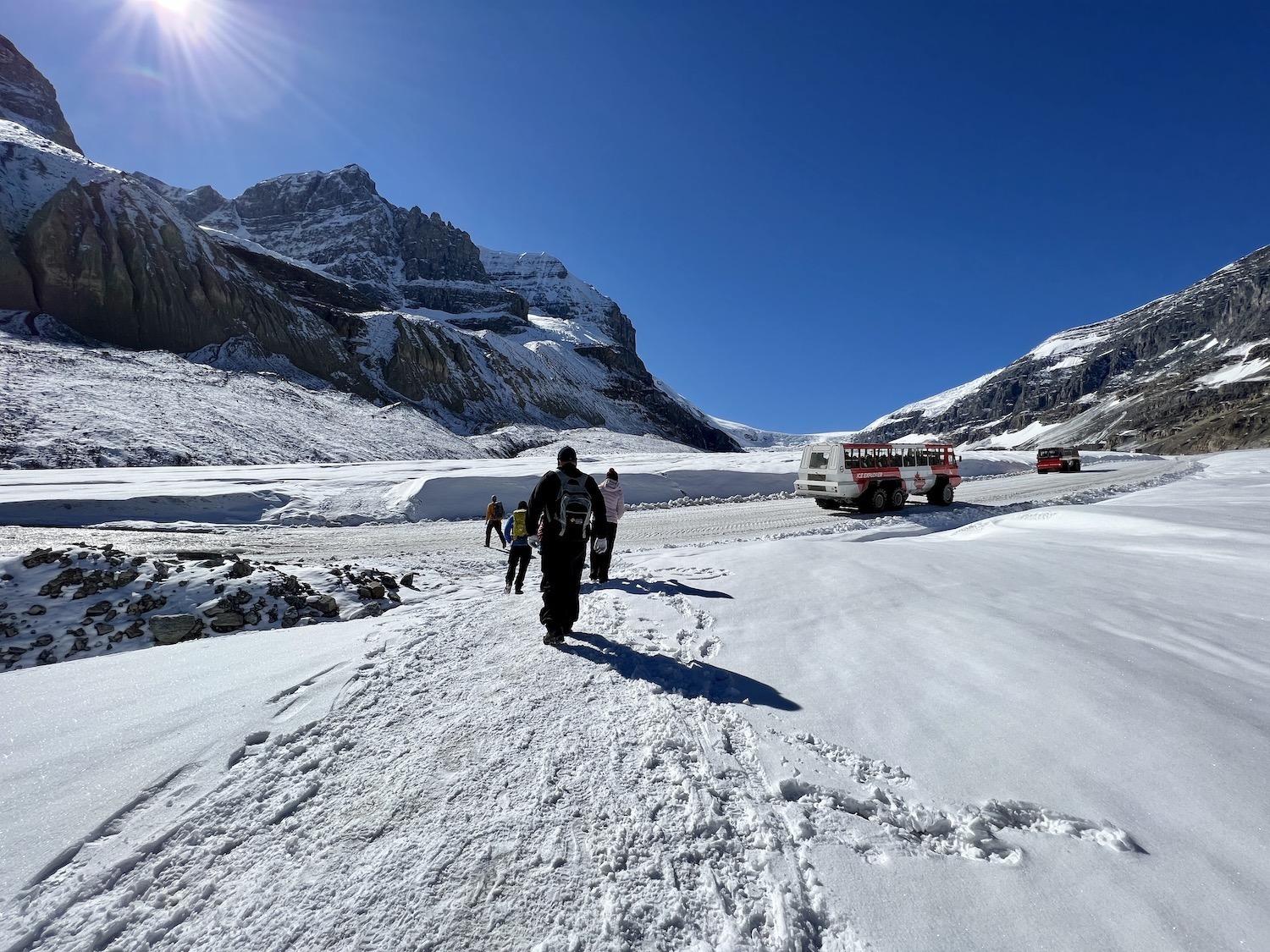
We cross an ice road as snow coaches (Ice Explorers) ferry other visitors to the Athabasca Glacier/Jennifer Bain
Some of the ice at the end of the Athabasca Glacier — the area evocatively known as “the toe” where we stand — fell as snow some 400 years ago.
Glaciers have covered most of Canada several times over the last 250,000 years and the Columbia Icefield is one of the last surviving remnants of this time. Parks Canada says the last significant advance of glaciers in the Rockies was the Cavell Advance, also called “The Little Ice Age,” which reached its maximum extent between 1840 and 1860.
“Obviously our time on this glacier is limited,” acknowledges Lohmann, as we gaze down to the parking lot where the glacier once reached.
Patterson tells us that in the Canadian Rockies, “the rock is very old, the mountains are middle-aged and the landscape is really young, and a lot of it is due to glaciation and how these areas were shaped.” He points out hoodoos carved below a mountain ridge. Hoodoos are tall, thin sandstone spires formed by erosion. For Indigenous people, “there is not a hoodoo in the world that doesn’t have a story to it.”
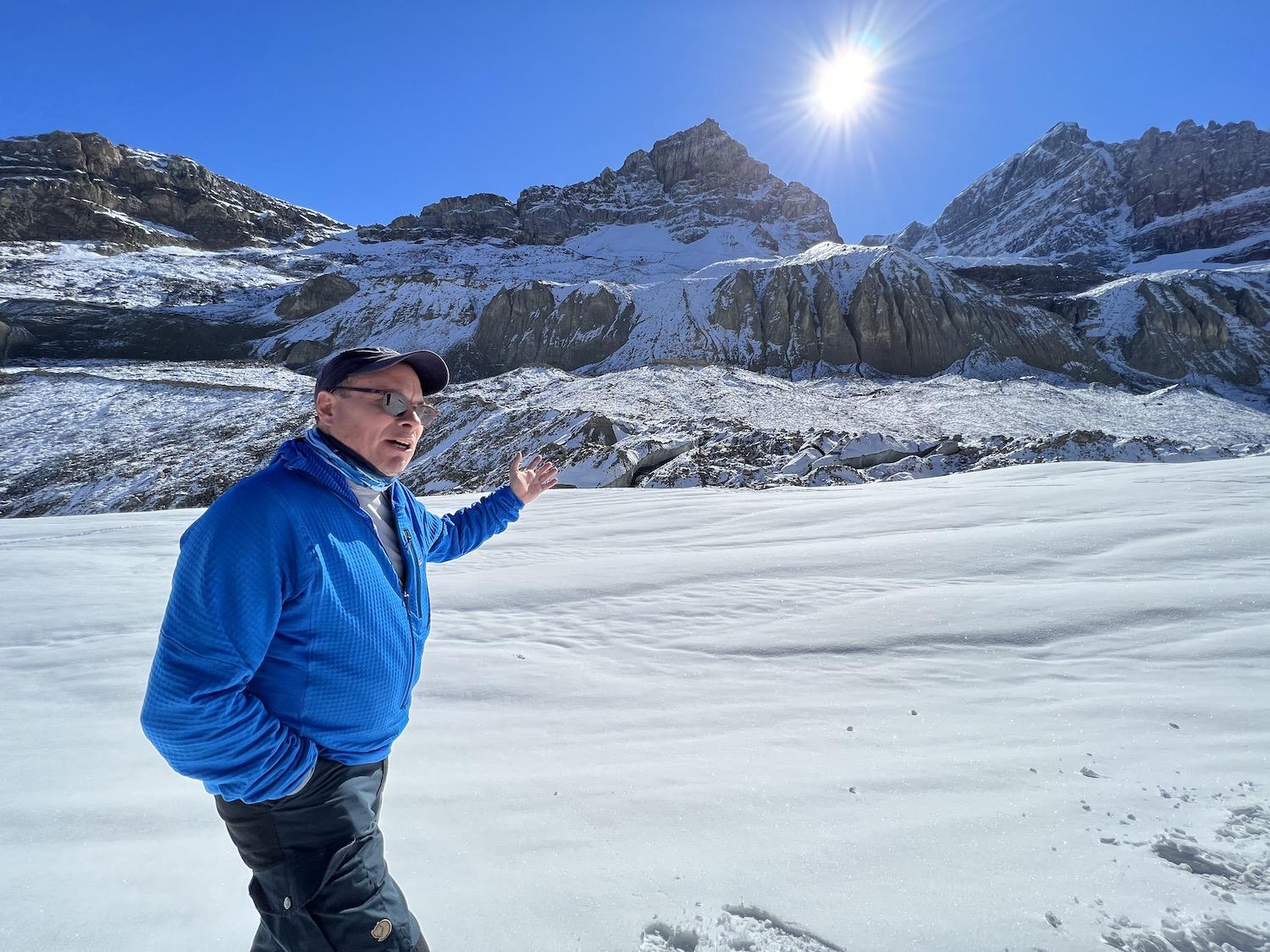
Zucmin Guiding's Tim Patterson shares an Indigenous perspective on hoodoos, sandstone spires formed by erosion/Jennifer Bain
These ones only recently started to reveal themselves as the ice began to shrink. Patterson turned to knowledge holders from a variety of Indigenous communities and they agreed these are “Guardians” — ancestors of those who died in this area. “Think of it like a gravestone, but it’s a person and it’s a representative of their experience, of their knowledge, of their practice, in this area.”
As we walk gratefully and giddily over the glacier — in the area you can only enter on foot with someone certified by the Association of Canadian Mountain Guides — we pass by long-tailed weasel tracks and stop as snow coaches loaded with global tourists drive by along an ice road.
“The amount of ice we’re standing on is 180 metres or 600 feet,” offers Lohmann. “And we’ll get to see some deep holes and more features like cracks and water.” One at a time, we're invited to grip his arm and peak over the edge into a crevasse, perhaps to drive home the danger of straying off the trail.
As we explore, Patterson drives home the point that the cultural layering of this area is “not of the past.” He dispels the misconception “that Indigenous people went to a certain place and they stopped, that history stopped. We’re still here, right?”
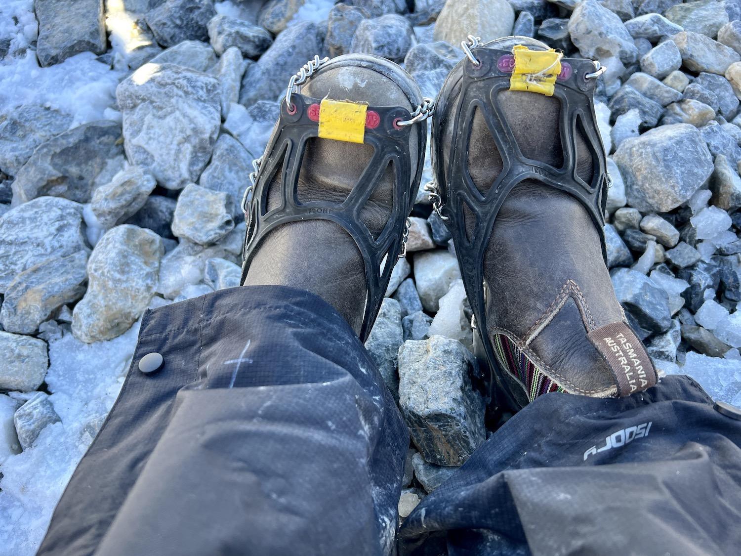
IceWalks loans guests ice cleats for walking on the glacier/Jennifer Bain
This is one of the most researched pieces of ice in North America and Indigenous people continue to actively connect to it as researchers, managers and park wardens. Legendary Métis alpinist Barry Blanchard and two others completed the often-attempted Andromeda Strain climb in 1983.
“He’s still part of this culture and this environment,” says Patterson, “just as I am part of it now, and my guides that I bring on board that are Indigenous are part of it.”
Patterson sits on the board of directors of Indigenous Tourism Alberta (ITA), a group that encourages and promotes authentic Indigenous tourism that showcases unique and immersive experiences offered by its members. He challenges us to define “land acknowledgments," noting "they're pretty sexy right now." They are generally defined as an act of reconciliation that recognizes the traditional territories you stand on and what they mean to you, while also recognizing and honoring the Indigenous Peoples who have lived on Turtle Island (North America) since long before colonization.
The lengthy land acknowledgment on ITA’s website says: “Indigenous Tourism Alberta acknowledges that we are on traditional territories, meeting grounds, gathering places, and traveling routes that are home to many First Nations, Metis and Inuit. We acknowledge with respect the traditional territories of Treaty 4, 6, 7, 8, and 10. We also acknowledge the homelands of the Métis, including the eight Métis Settlements, and the six Métis Regions. We are grateful for the traditional knowledge keepers and elders that are still with us today.”
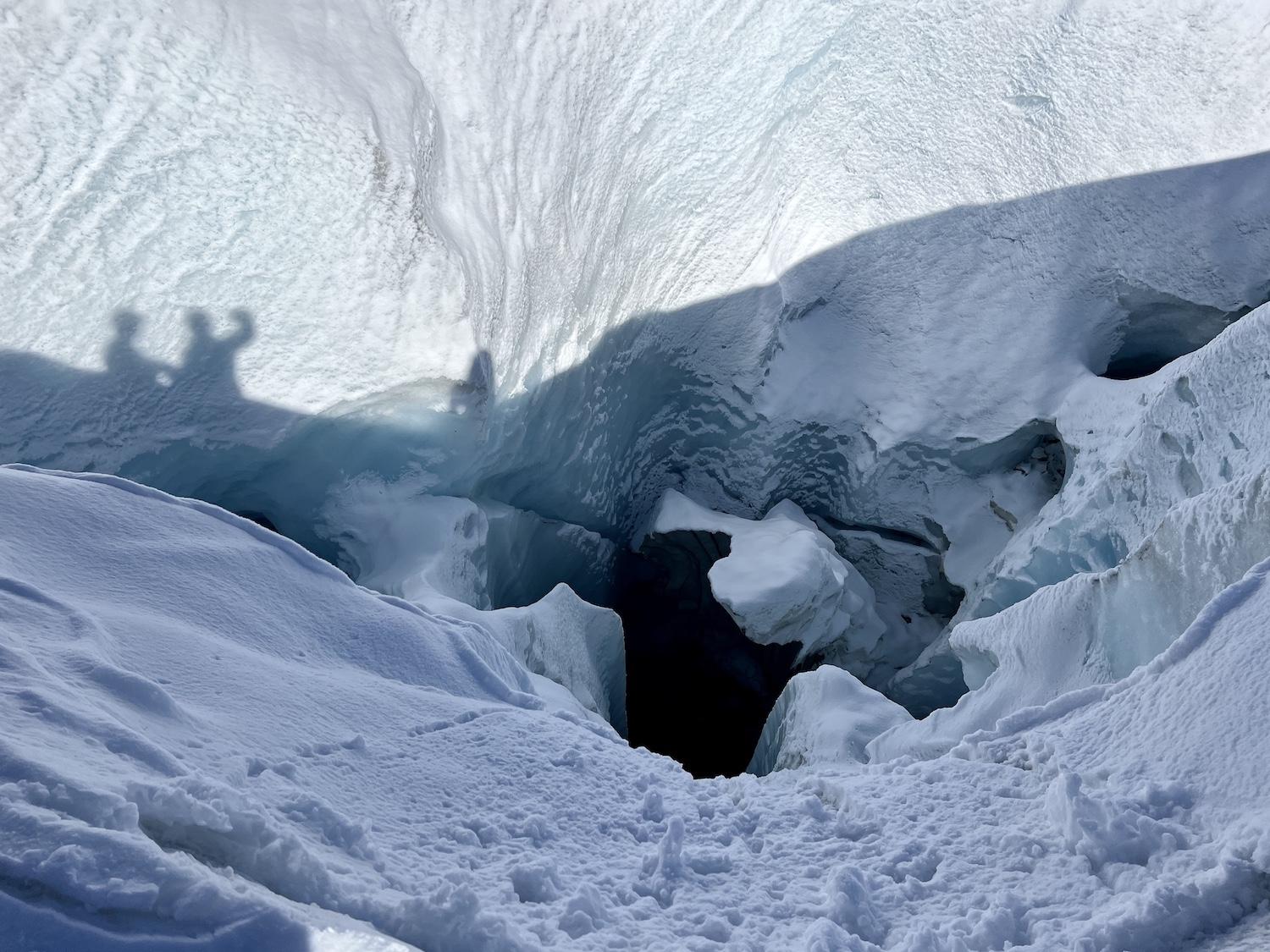
The Athabasca Glacier is full of hidden, and not so hidden, crevasses and so that's why people can't roam without a guide/Jennifer Bain
As we stumble and overcomplicate our definitions, Patterson interjects to say that land acknowledgements are simply about the land and acknowledging that layering of story, experience and practice he has been telling us about.
“A land acknowledgement is about being respectful. It’s about being responsible. It’s about acknowledging what’s been here before — those layers, right? But also acknowledging that hey, I’m a part of this, and when you are a part of this what do you do?”
“Take care of it,” someone in our group quietly suggests.
“Exactly,” replies Patterson. “So, what is everybody wanting us to do?”
“Take care of the land,” we reply.
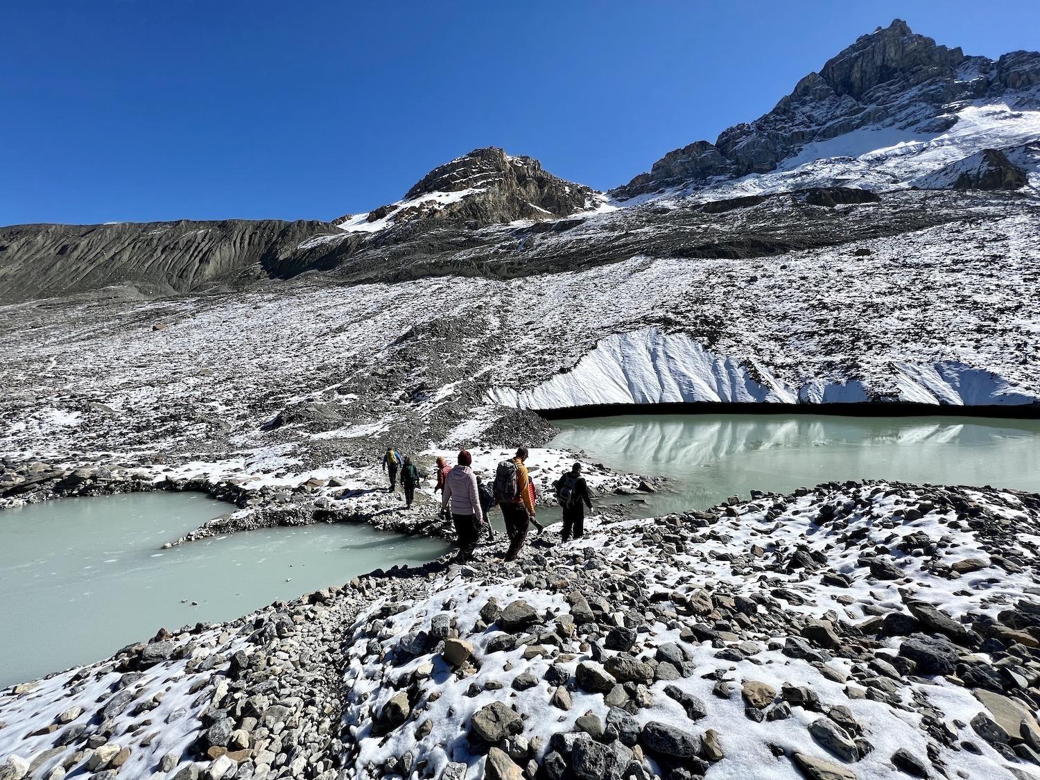
To get on and off the Athabasca Glacier, we scramble over a rocky landscape that was once covered by a glacier/Jennifer Bain
We move mindfully over the Athabasca Glacier, all these thoughts churning in our minds as we stop to admire scratches and gouges along rocks called striations that are created as a glacier moves downhill and picks up rocks.
We hear how this “highly dynamic landscape” changes daily, weekly and annually, how the guides must constantly forge new trails, and how the warming climate causes ongoing ice loss.
The Athabasca Glacier terminal moraine — its largest extent — was once near the Icefield Centre, behind the parking lot where it reached in 1844 and where we parked today.
Donning and shedding layers of clothing on this sunny but windy September day, we experience first-hand how icefields produce their own weather. Air passing over the icefield is cooled by the ice. Since cold air is denser and heavier than warm air, it slides downhill creating what is called a katabatic wind, which is strongest in the fall when the temperature difference between the icefield and the lower valleys is the greatest.
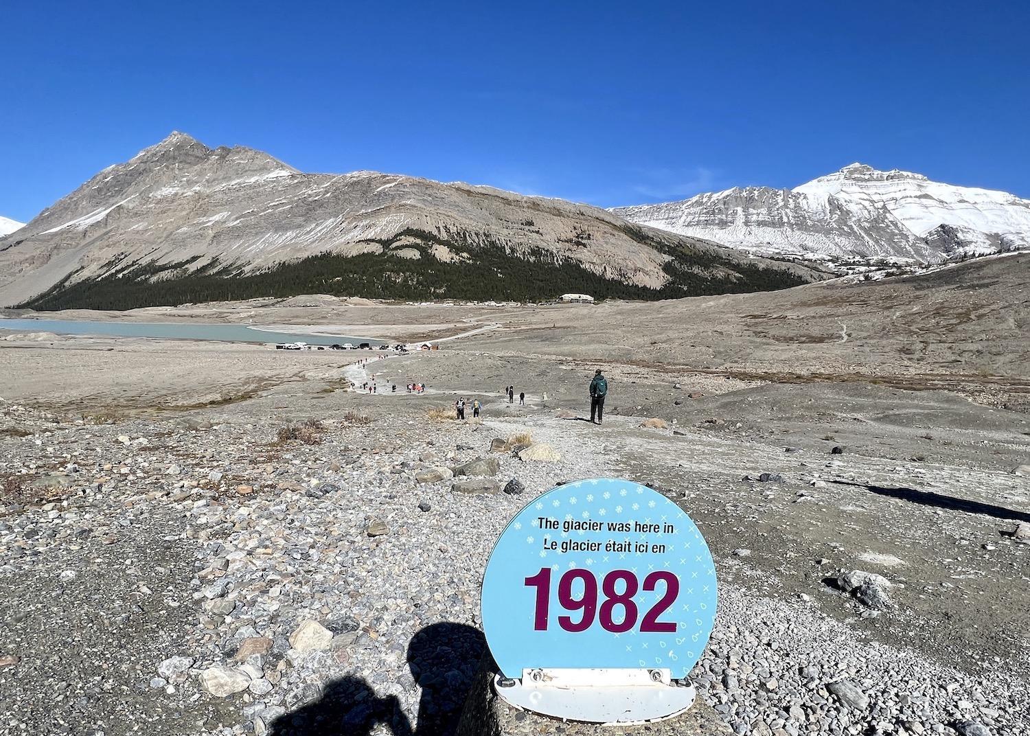
A sombre reminder of how climate change has impacted the Athabasca Glacier, with a view of the parking lot and, across the highway, the Icefields Centre where the glacier once reached/Jennifer Bain
Before the tour ends, Patterson shares that he named his company Zucmin (Zúc'mn in Nle?kepmxcin) because it means red ochre, a natural clay earth pigment he has harvested with his family.
When he was talking to his great uncles, great aunts and other families about his plan for a guiding company, they asked what he was doing it for.
“The basic tenets of guiding are that you take someone out into the mountains, you make sure that they have fun and they’re safe,” Patterson explains. At the same time, some Indigenous people have a tradition of painting their faces with ochre before going into the mountains to protect themselves from the sun and bugs.
“It was protection,” concludes Patterson, “and protection is what I do.”
The nuances of the word are not lost on us.
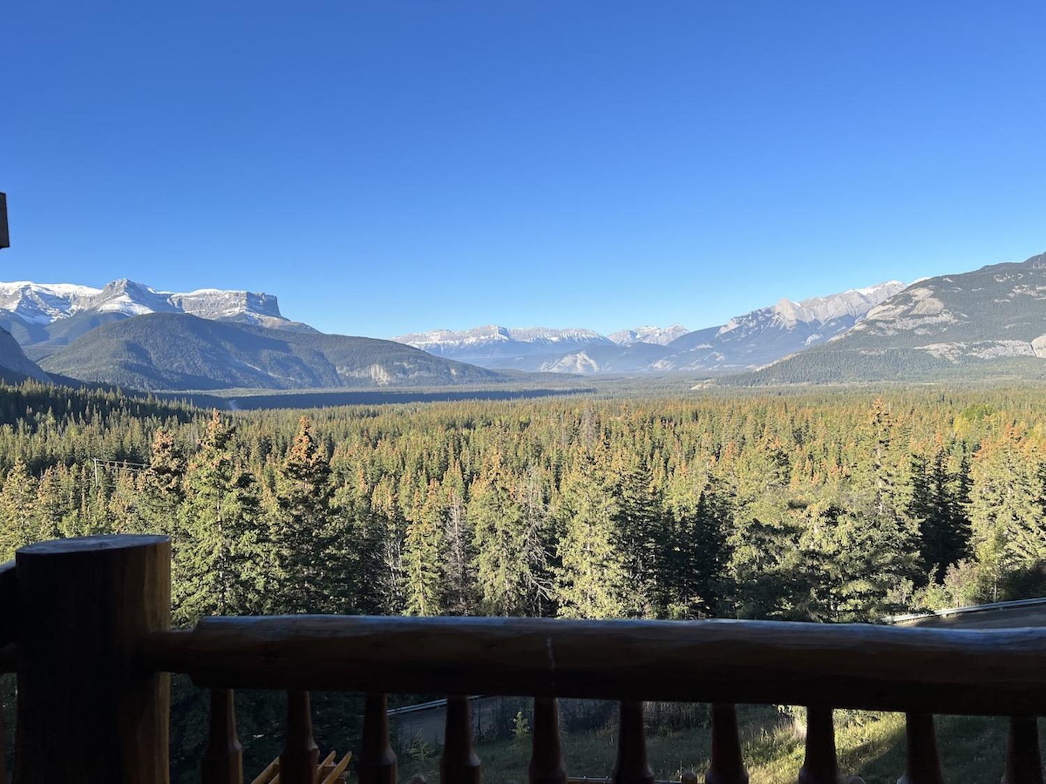
A view of Jasper National Park from the Overlander Mountain Lodge in Jasper East/Jennifer Bain
When You Go:
- IceWalks operates guided half day, full day and private guided hikes of the Athabasca Glacier between late May and early October. It partners with Zucmin Guiding to also offer Indigenous-led tours that are roughly five kilometres (three miles), three hours and $150 ($110 USD). Zucmin has other offerings, including snowshoeing and backpacking trips.
- The Athabasca Glacier is along the Icefields Parkway (Hwy. 93 North), a 232-kilometre (144-mile) stretch of road that joins the hamlet of Lake Louise in Banff National Park with the Town of Jasper is Jasper National Park. Cell service is limited along the parkway, there is one gas station, and Parks Canada services are available June to September. From October through May there is no road maintenance from 3:30 p.m. to 7 a.m. and no gasoline. Winter tires are required and the road may close without warning.
- The Athabasca Glacier is between Banff and Jasper. I stayed at the Juniper Hotel in Banff and the Overlander Mountain Lodge just outside the eastern edge of Jasper National Park. I had lunch at Sunwapta Falls Rocky Mountain Lodge, just 40 minutes north of the Athabasca Glacier, and it also has cabins and lodge-style rooms.
- To drive the Icefields Parkway and experience the Athabasca Glacier, Banff National Park and Jasper National Park, fly into Calgary and out of Edmonton in Alberta (or vice versa).

Comments
So what makes the "1982" sign 'sombre'? I once read that it is beleived the ice sheet in Northern Canada was once 15,000' high. That's almost 3 miles. There used to be a land bridge, upon which it is generally accepted, humans walked over to emigrate from Asia to No America.
"Nothing endures but change" - Heraclitus
have you not seen how climate change is impacting our planet?
things are absolutely terrible and getting worse.
Sombre is just about the only word we can use to describe it.
Person - You missed Loui's point
Climate changes. Always has, always will. Get used to it.
I think you missed my point. Pointing to non anthropogenic climate change is a way to disregard the impact of anthropogenic climate change and it's impact on our planet.