Citizen scientists play a great role in collecting data at Mount Rainier National Park/WNPF
By Marjorie Walter, Washington’s National Park Fund board member
Nothing beats a day spent hiking a trail through the spectacular subalpine meadows of Mount Rainier National Park – except maybe combining that hike with the opportunity to contribute to important research by volunteering as a citizen scientist. That’s how a small group of donors and board members from Washington’s National Park Fund spent a recent Saturday, hiking from Paradise down to Reflection Lakes with Mount Rainier’s aquatic ecologist, Rebecca Lofgren, and collecting data on streamflow along the way.
Mount Rainier’s water supply is entirely dependent on the snowpack, so it’s important to monitor streamflow conditions to effectively manage that resource for the park’s human visitors. Streamflow information also contributes to understanding how shifts in the water supply affect the park’s entire ecosystem, and tracking conditions over time helps predict the changes we can expect with continued global warming. The data we collected, combined with data collected by other volunteers, will allow for detailed mapping and modeling of the annual probability of year-round streamflow, or “streamflow permanence.”
You don’t need experience or a scientific background to volunteer as a citizen scientist. Before we even arrived at "The Mountain" (as it’s affectionately known by locals), we participated in an online training session, during which Rebecca gave us an overview of the project, introduced the apps we would be using and described the kind of data we’d be collecting. We also hashed out logistics, including COVID-related precautions.
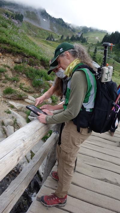
A few days later, we met up outside the visitor center at Paradise to get some hands-on practice before hitting the trail. We walked through how to use the location and data collection apps, and how to operate the GPS antenna we would be carrying, to ensure we were recording our observations at all the required spots.

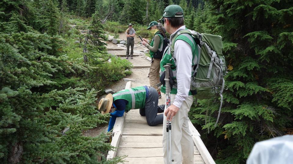
Streams, large and small, were monitored during the field work/WNPF
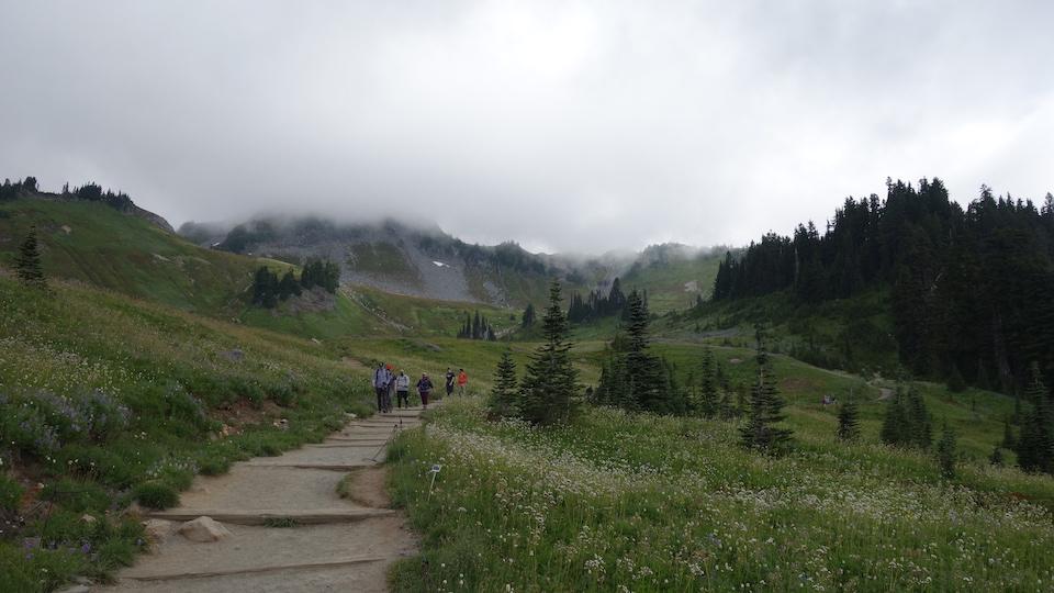
We were on our way in no time, with the antenna in a pack and an iPad in hand, headed for our first location. Mist and clouds obscured the summit, but the profusion of wildflowers surrounding us more than made up for that. The trail meandered through meadows bursting with Rosy Spirea, Pearly Everlasting, Magenta Paintbrush, Lewis’ Monkeyflower and Beargrass. The Blue-pod Lupine was especially lush, and we spotted several fat marmots gorging themselves on the deep purple petals.
Using the electronic map, we hiked along the trail toward each observation site, confirming the exact location with the linked GPS antenna. When we got to the right spot, we switched to the data collection app and recorded our observations about the particular location, including flow status; whether the stream bed was predominantly bedrock, fine or coarse sediment; whether the observation point was at a trail crossing and if so, the type of crossing; the depth of the water, if any; and the active channel width.
We finished up by taking a photo of the location, and then submitted the form before hiking to the next observation site. The locations ranged from footbridges spanning creeks that tumbled over rocky beds, to small sandy channels running alongside the trail. Several of our sites had plenty of water flowing, while others looked like they had recently dried up for the season. At one location, passing hikers curious about what we were up to, they reported that the deep, boulder-filled channel choked with logs we were observing had been roaring with water just a few weeks earlier.
By the time we finished our hike, we had logged data for over a dozen sites. Since then, other volunteers and park staff have gathered data for many more, all contributing to a comprehensive look at the aquatic system of Mount Rainier National Park.
Washington’s National Park Fund is the official philanthropic partner for Mount Rainier, North Cascades, and Olympic, National Parks.

Citizen scientists enjoy the splendor of Mount Rainier National Park while contributing to the knowledge base/WNPF


Add comment