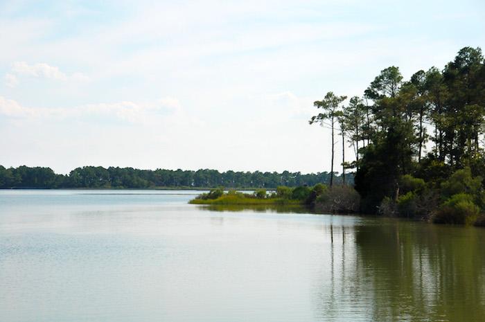
The Potomac River carried an estimated 30 million pounds of nitrogen into the Chesapeake Bay this spring/NPS, Sarah Rogers
Four years ago a multi-state agreement was written to focus on restoring and protecting the Chesapeake Bay and its feeder streams. Unfortunately, researchers who monitor the health of the bay now are forecasting a larger-than-average Chesapeake Bay "dead zone" in 2018, due to increased rainfall in the watershed this spring.
The agreement crafted four years ago was signed off on by the Chesapeake Executive Council, a group that represents the seven watershed jurisdictions, a tri-state policy group, and federal agencies including the Department of the Interior. Called the Chesapeake Bay Watershed Agreement, the agreement committed Chesapeake Bay Program partners to a set of interrelated goals to advance the restoration, conservation and protection of the bay, its tributaries and the lands that surround them.
The plan was welcomed by conservation groups, which viewed it as offering protections to the Captain John Smith Chesapeake National HIstoric Trail and other park system units that line the bay.
Fast forward to 2018, and ecologists from the University of Michigan and the University of Maryland Center for Environmental Science are predicting a dire scenario for an area spanning nearly two cubic miles. Spring runoff carried so much nitogren into the bay that this summer's Chesapeake Bay hypoxic, or dead zone, an area of low to no oxygen that can kill fish and other aquatic life, will cover 1.9 cubic miles. The culprit for much of that nitrogen often is fertilizers used by farmers and even home owners who desire green lawns, as well as discharges from wastewater treatment systems.
Measurements of the Chesapeake Bay's dead zone go back to 1950, and the 30-year mean maximum dead zone volume is 1.74 cubic miles.
According to the U.S. Geological Survey, the Susquehanna River carried 85.7 million pounds of nitrogen into the Chesapeake Bay while the Potomac River, as measured near Washington, D.C., supplied an additional 30 million pounds of nitrogen, according to USGS.
The excess nutrients stimulate an overgrowth of algae, which then sinks and decomposes in the water. The resulting low oxygen levels are insufficient to support most marine life and habitats in near-bottom waters, threatening the bay's crabs, oysters and other fisheries.
"The forecast calls for an above-average dead zone in the Chesapeake Bay this year, illustrating that more work needs to be done. This dead zone remains considerably larger than the size implied by the targets set under the Chesapeake Bay Total Maximum Daily Load agreement," said aquatic ecologist Don Scavia, University of Michigan professor emeritus of environment and sustainability and a member of NOAA-funded teams that produce annual forecasts for the Chesapeake Bay, the Gulf of Mexico and Lake Erie.
"The Chesapeake Bay's response to reductions in nutrient pollution may be gradual, involve lags, and be interrupted by the weather," said report co-author Jeremy Testa of the University of Maryland Center for Environmental Science. "The forecast illustrates these challenges well."
If there's any reason to be optimistic about the long-term health of the bay, it could lie in the bay's natural processes.
"Despite the (dead zone) forecast, bottom dissolved oxygen concentrations in Maryland's portion of the Chesapeake Bay mainstem have continued to increase since 2014, and last year we recorded the second-smallest hypoxic volume ever," said Bruce Michael, director of the Resource Assessment Service at the Maryland Department of Natural Resources. "The bay is rebounding and responding, as seen by record submerged aquatic vegetation totals. Our strategic investments and sacrifices aimed at reducing nutrients and sediment are working, but more can still be done throughout the watershed."


Add comment