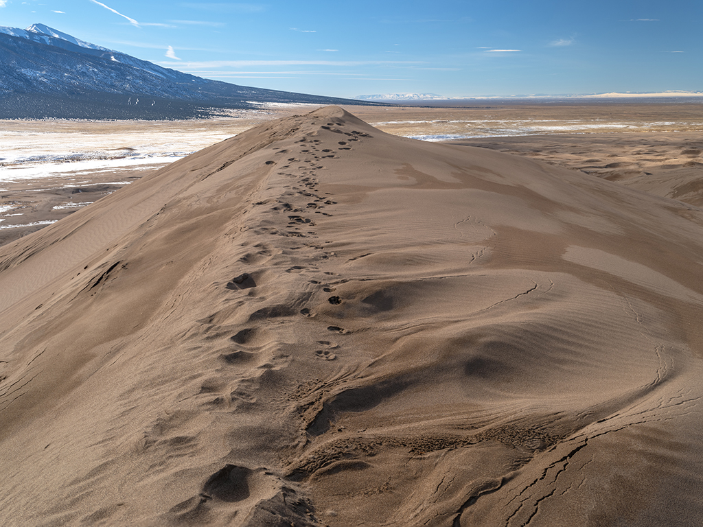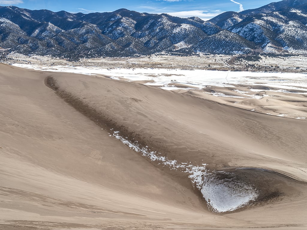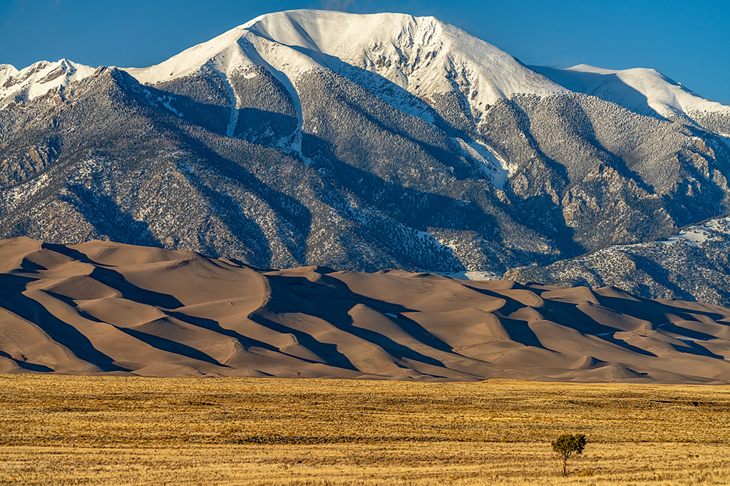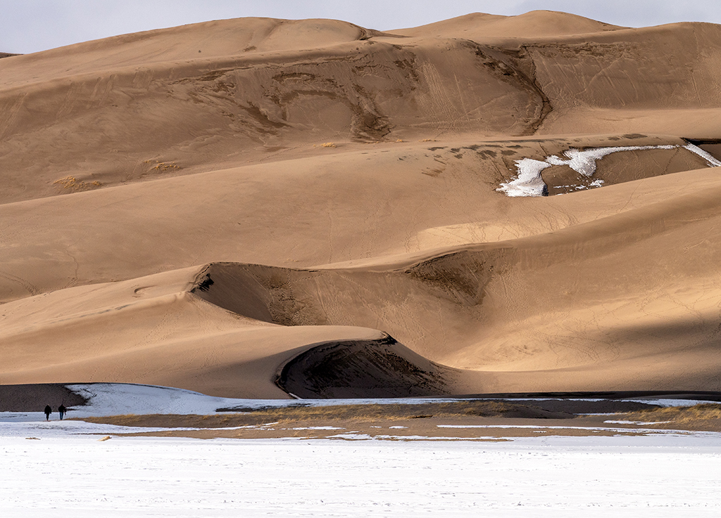
Sunlight And Shadow, Great Sand Dunes National Park And Preserve
Great Sand Dunes National Park and Preserve - Rebecca Latson
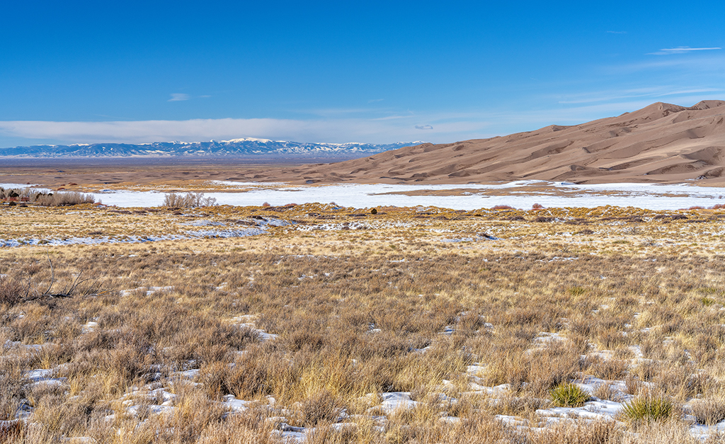
If you bring along your camera (and you should), you can capture not only wide-angle shots of this national park, but also telephoto close-ups of the sinuous sand dunes. Early morning or later in the afternoon are great times to capture light and shadows to give the dunes some depth. Telephoto shots bring the viewer closer to these sand dunes for a better look. You might even want to include people in some of your shots, allowing your viewer a better idea of just how large and tall these sand dunes are in addition to adding a little familiar reference.