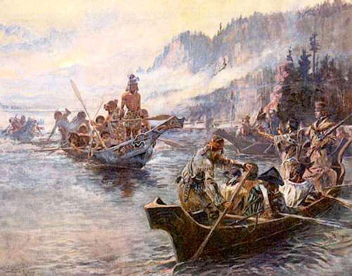
Hit the road to retrace the path of the Corps of Discovery, here envisioned by the late painter Charles M. Russel
There are many historic trails that are part of the National Park System. If you’re headed out West this summer, take the high route along the Missouri and Yellowstone rivers in Montana and retrace one of our nation’s most historic explorations.
Meriwether Lewis, Captain William Clark, and their crew came this way in 1805 on their overland journey to the Pacific Ocean. They discovered mountains and glaciers, forests and rivers, giant bears and wondrous flocks of waterfowl—and you can, too.
There’s a lot to see and do for the modern traveler in just a few days with this driving-tour loop. From North Dakota’s western border, stop at the Missouri-Yellowstone Confluence Interpretive Center to plan your trip and visit the Fort Union Trading Post National Historic Site just a few miles to the west. Then head up the mighty Missouri River, which drains the high country, lined with towering cottonwoods and snow-capped peaks.
You can visit the Charles M. Russell National Wildlife Refuge on the way to the Upper Missouri River Breaks National Monument, home to a truly spectacular geographic feature. Spend a night in Great Falls, after visiting its namesake: the Great Falls of the Missouri. The next morning, learn more about the adventure at the Lewis and Clark National Historic Trail Interpretive Center. From Lewis and Clark’s westward route, head south and intercept their return journey, via the Gates of the Mountains Wilderness near Helena, the state capital.
At Three Forks, witness the birth of the Missouri from the Jefferson, Madison, and Gallatin rivers before heading eastward along the Yellowstone River towards Billings and the must-see Pompey’s Pillar National Monument. Named after the infant son of Native American guide Sacagawea, it was here that William Clark inscribed his name on July 25, 1806. In his journals, Clark wrote, “This rock I ascended and from it’s top had a most extensive view in every direction on the Northerly Side of the river high romantic Clifts approach & jut over the water for Some distance both above and below...I marked my name and the day of the month and year.”
It’s the only remaining physical evidence of their journey and serves as a reminder of how remarkable the Corp’s accomplishment was.


Comments
I have been over much of the route and it flows through beautiful country. Do the trip while you can.
The Trail takes you through some of the most beautiful areas of our country, from St. Louis, MO, along the magnificent Columbia Rover, to the Trail terminus at Seaside Heights, Oregon. Bring the journals of Captains Lewis and Clark with you so that you can enjoy their words as you travel.