The Mighty Colorado River: From The Glaciers To The Gulf
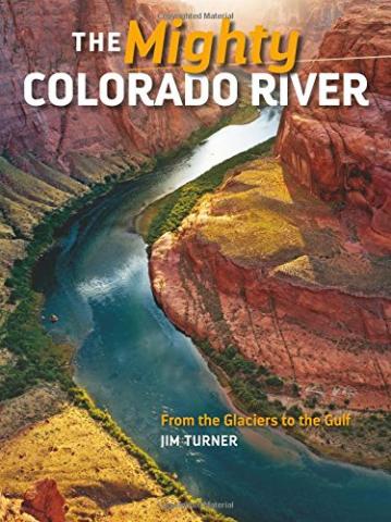
Author : Jim Turner
Published : 2016-07-17
Support National Parks Traveler, and purchase this product at Amazon.com

The Colorado River rolls and tumbles more than 1,400 miles, and drains around 8 percent of the United States; an area of around 244,000 square miles.
More than 50 rivers and streams from seven states feed the Colorado River, from the snow-capped peaks to the scarred red-rock deserts. It provides water for tens of millions of people downstream, and Jim Turner tells its story in this title.
Turner has written a wonderful biography of this river, with gorgeous photography, following its flow from the headwaters to the Gulf of California, beginning with its main tributary, the Green River.
With its modest beginnings in the high alpine peaks of Wyoming, the Green winds its way through a stark landscape and deep gorges like Lodore, Desolation, and Gray canyons before finding the Colorado deep within Canyonlands National Park. From this confluence, the Colorado carves its way through geologic history through the Grand Canyon and on to the California fields, deserts, and finally the Pacific Ocean.
Turner is an historian, author, and public speaker from Arizona, where he learned how important water is in the American West. He writes of how dependent we are upon the Colorado River, as well as the wildlife refuges, recreation areas, and cities along its length. He also takes the time to describe its natural and human history. This human history, of course, would not be complete without the description of the dams, irrigation, and flood control projects along its length.
I would like to see some changes in the second edition, of course. Primarily, though this is a large paperback book of 104 pages, I would love to see this as a large format, hardcover book, and imagine the author would as well. Secondly, some readers without a keen geographic knowledge of the West may wonder why the book leads with the Green River, and not the Colorado River. Perhaps this section could have been placed further back in the book.
But the photography easily steals the show here, with full-page views of the high peaks, beautiful images of the Colorado River winding through the Grand Canyon, and the photos of recreationists on the water. The image of the confluence of the Green River and Colorado River is especially striking, as the red waters of the Colorado and green water of the Green River join.
This is overall a wonderful book for your library for anyone interested in the desert Southwest and its primary river.

National parks and their natural resources belong to you. The National Parks Traveler works to ensure you know how these essential places are being cared for.
Sign Up For Our Weekly Newsletter
Unsubscribe at any time.
INN Member

The easiest way to explore RV-friendly National Park campgrounds.

Here’s the definitive guide to National Park System campgrounds where RVers can park their rigs.
Our app is packed with RVing- specific details on more than 250 campgrounds in more than 70 national parks.
You’ll also find stories about RVing in the parks, tips helpful if you’ve just recently become an RVer, and useful planning suggestions.
