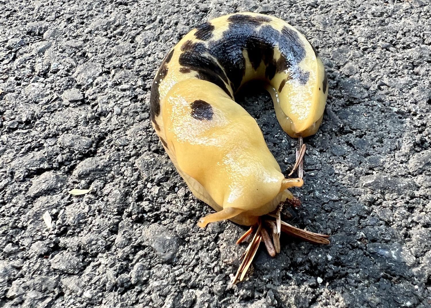
A banana slug munches away on the new asphalt pathway in Pacific Rim National Park Reserve's Long Beach Unit/Jennifer Bain
It wasn’t the black bears we had to watch out for e-biking the new ʔapsčiik t̓ašii (ups-cheek ta-shee) multi-use pathway from one end of Pacific Rim National Park Reserve’s Long Beach unit to the other — it was the banana slugs.
The forest-dwelling slugs (Ariolimax columbianus) were out in unusual numbers enjoying the moist, shaded asphalt, munching on fallen leaves, needles and other decomposing material with their 27,000-odd microscopic teeth. Some were mottled or spotted — just like a banana — and each was a unique mix of yellow, green, brown, black and white. Most were alive and well but others were unfortunately flattened by bike tires.
I didn’t stop to ogle nearly as many slugs as I would have liked, since I had 25 kilometres (16 miles) of pathway to travel and only four hours to do it that September morning on Vancouver Island. But I learned that some were surely the non-native and invasive European slug (Arion rufus), and that none were the threatened Dromedary jumping-slug that favors another part of the park reserve along the West Coast Trail.
“Slugs eat and poop and create soil,” Parks Canada’s Crystal Bolduc told me nonchalantly. The promotions officer for the Coastal B.C. Field Unit seemed perplexed by my fixation with one of the world’s largest slugs, which grows up to 26 centimetres (10 inches). Native to the province’s temperate coastal rainforest, the banana slug thrives here — it’s not a species at risk — and seems to be popular as an earthworm, which is to say not very.
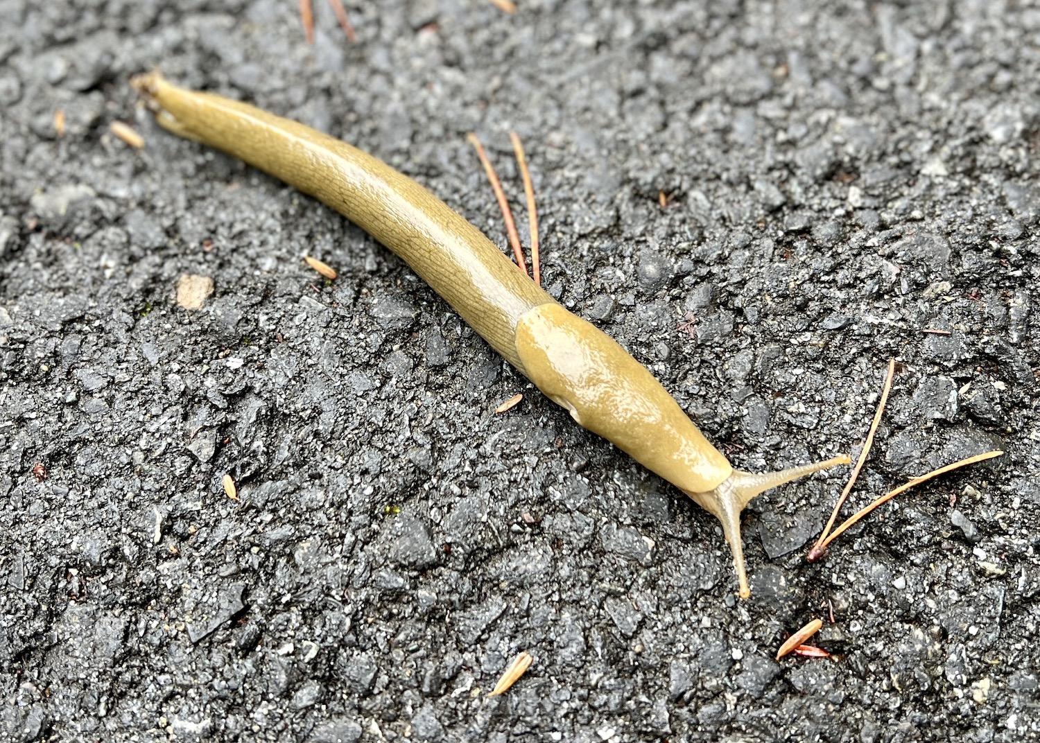
Another banana slug stretches out on Pacific Rim's multi-use pathway looking for food/Jennifer Bain
But I’m from Ontario where we don’t have banana slugs, hermaphrodites whose slime keeps them moist so they can glide along the forest floor. The Sierra Club BC says the slime has an antiseptic that will numb your mouth if you lick one, and that the First Nations used the slime to numb toothaches.
I couldn’t bring myself to do any licking.
I was drawn to Pacific Rim to check out the new pathway in the ḥaḥuułi (traditional territories and homelands) of the Tla-o-qui-aht First Nation and Yuułuʔiłʔatḥ (Ucluelet) First Nation. Called ʔapsčiik t̓ašii and pronounced ups-cheek ta-shee, the name means “going the right way on the path” as well as “make sure you speak the truth.” It was chosen by an Elders’ Working Group that worked with Parks Canada.
The pathway project took nearly six years from conception in 2016 to unveiling in July. It received nearly $51 million ($40 million USD) in federal funding.
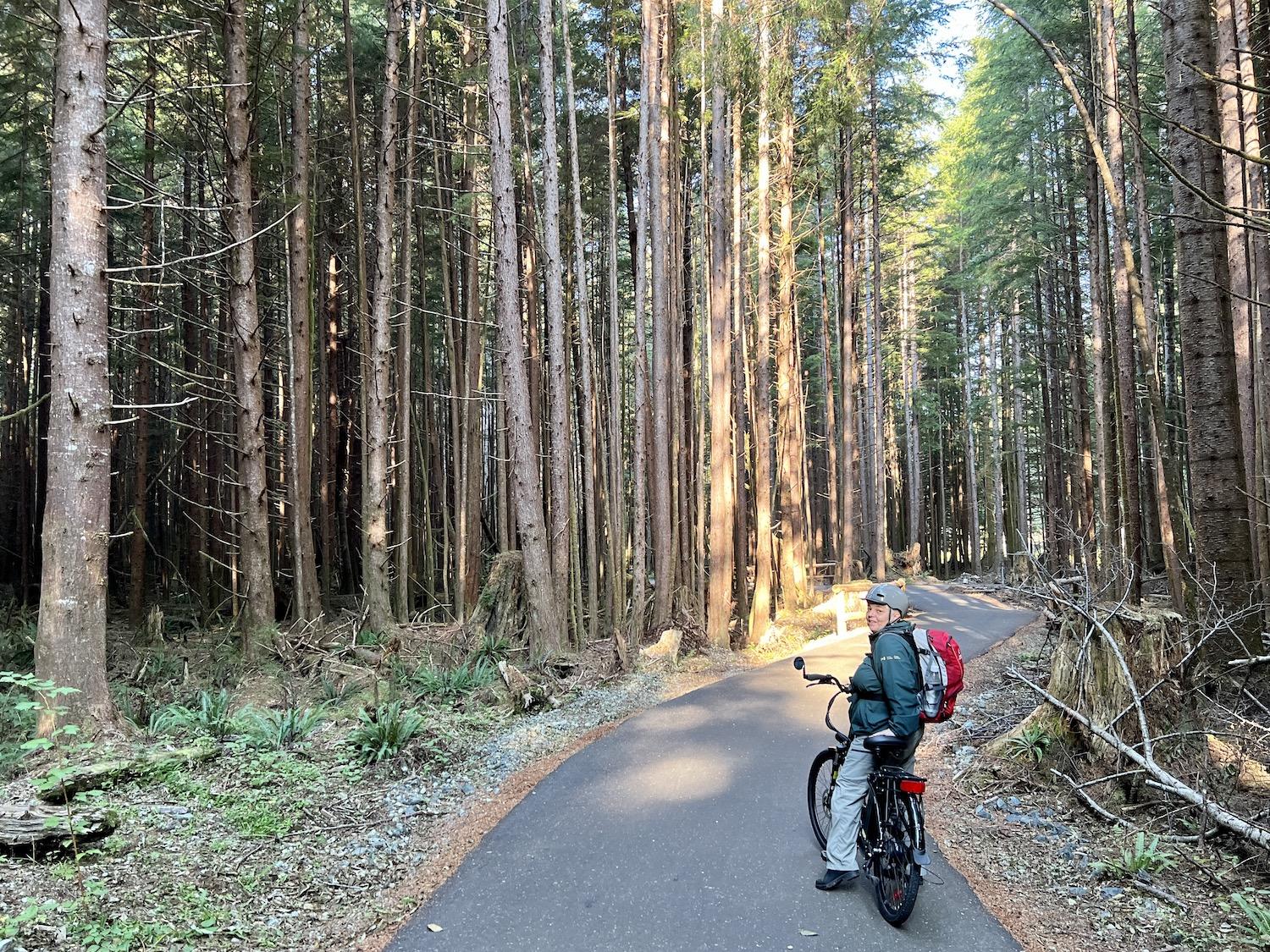
Parks Canada's Crystal Bolduc e-bikes the new multi-use pathway in Pacific Rim National Park Reserve's Long Beach Unit/Jennifer Bain
“To build something that everyone is moving forward with together is really positive,” Bolduc explained. “And it’s opening doors for economic opportunities for the Nations here. Yes, it was a tricky business building a trail in a national park, but I also think it’s a beautiful new visitor offer. I hear from people in town all the time how much they love going on the trail. It’s a new and different opportunity to experience the national park reserve.”
Parks Canada manages three separate regions of Pacific Rim — the Broken Group Islands, West Coast Trail and Long Beach. It draws about a million visitors a year and most gravitate to Long Beach.
We started the day at T̓iick̓in (Thunderbird) E-Bike Rentals at the Ucluelet/Tofino junction where Gordon Taylor of the Ucluelet First Nation detailed how his year-old family business hopes to play a role in healing the land.
In a park reserve that mainly attracts visitors with cars, Parks Canada is now allowing pedal assist electric bicycles on ʔapsčiik t̓ašii. They can only provide power assistance when the bike is being pedalled and generate a maximum of 500-watt motor power. They must stop when a bike reaches 32 kilometres (20 miles) an hour on level ground. Class 2 or 3 e-bikes with an accelerator (throttle) aren’t pedal assist e-bikes and can only be ridden on roads.
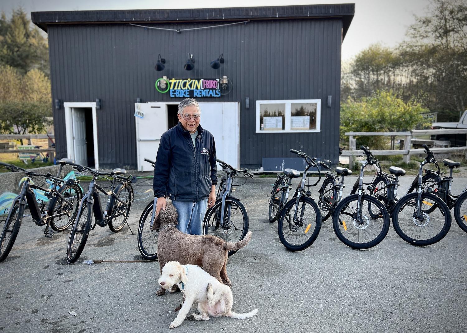
Gordon Taylor and his family run T̓iick̓in (Thunderbird) E-Bike Rentals at the Tofino/Ucluelet junction/Jennifer Bain
“Our motto is everything E,” said Taylor as his water dogs Guido and Sophia romped at his feet. “We thought about the next thing coming and how everything is changing to electric. Help us heal the land. Park your car. Rent an e-bike. Help build an e-transportation system between several First Nations.”
The company logo shows two thunderbirds facing each other holding the rim of an e-bike wheel with a thunderbolt through it. The thunderbird, Taylor explained, is the sign of his grandfather George Clutesi who was an artist and chief of the Tseshaht First Nation.
T-Bird has 35 bikes — OHM bikes for full-day rentals and four styles of Velec bikes for shorter journeys.
“I love the tranquility of the trail. It’s something you’ll notice when you are riding slowly,” said Taylor after showing us how to operate the bikes. “You don’t bump into anybody for the first 10 kilometres.”
Honk if you need to pass people or pass wildlife, he said, predicting that we wouldn’t see any bears and that if we did, “they normally just look at you then walk into the woods.”
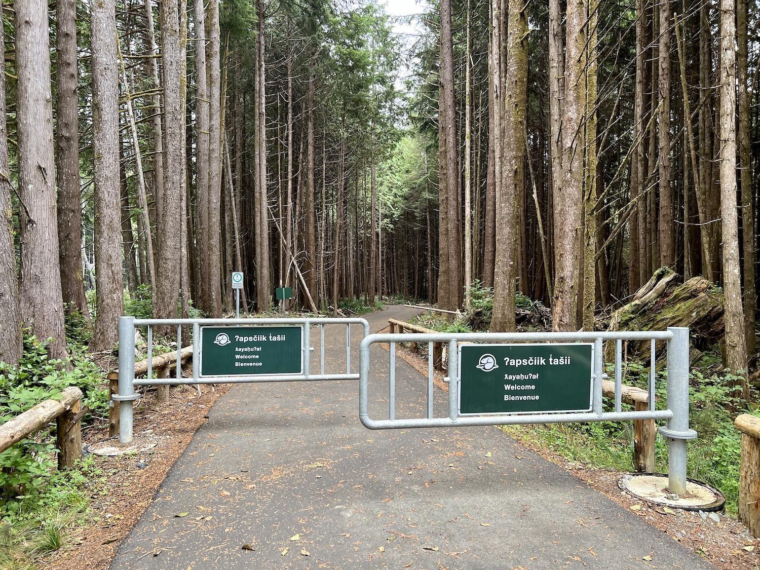
Trilingual welcome signs at the bike gates that slow riders down at select crossings on the new multi-use pathway/Jennifer Bain
The Long Beach Unit is a thin strip of land that runs between the popular surfing/tourist towns of Tofino and Ucluelet in British Columbia. Most of the new pathway runs between the Pacific Ocean and Hwy. 4, although one section veers down Wick Road to Wickaninnish Beach. The meandering route crosses lush rainforests, second-growth bogs, official and unsanctioned hiking trails and surfing beaches. It skirts the edge of the First Nations communities of Esowista and Ty-Histanis, which are private property.
The Elders’ Working Group helped Parks Canada ensure the pathway was built appropriately by providing guiding principles. These included hishukish ts'awalk (everything is one), uu-a-thluk (taking care of) and iisaak (respect). Environmental, engineering, archaeological and traditional-use studies helped ensure the trail design protected sensitive ecological and cultural features. The partners blessed the path site, determined a route that didn’t’ disturb culturally sensitive sites, and identified opportunities for economic benefits for First Nations. Construction worked around timing windows for sensitive species and habitats, such as salmon.
I had wanted to experience the pathway ever since Pacific Rim’s superintendent Karen Haugen told me in 2021 that “being able to smell the forest, taste the salty air, see rare species and hear the roar of the ocean is an experience beyond compare.”
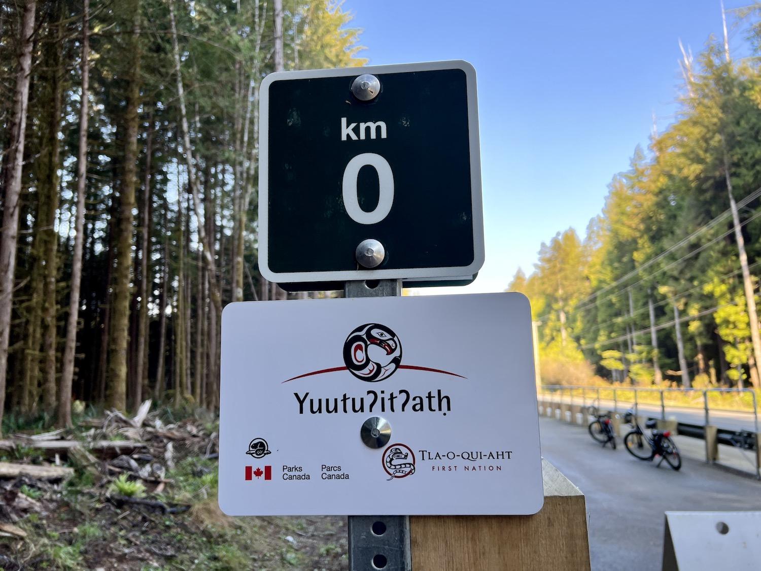
Signage along the multi-use path logs the kilometres and notes that it's in the traditional territories and homelands of two First Nations/Jennifer Bain
Pacific Rim’s portion of the path, and a link to Tofino, are complete. But there’s still a short gap of Alberni-Clayoquot Regional District land between where the park reserve’s path ends and where Ucluelet’s existing path begins.
That forced Bolduc and I to briefly ride on the highway to get from T-Bird to the start of the pathway. The pathway is well-marked and at the kilometre zero sign (KM 0), we perused fresh bear scat and frog fences that led to a culvert under the highway but pre-dated the pathway.
What immediately struck me was how the asphalt path zig-zagged to protect things like old-growth trees, cultural sites and amphibian areas. When trees had to come down, the wood was offered to the First Nations, used for fences and railings, and stored for future projects.
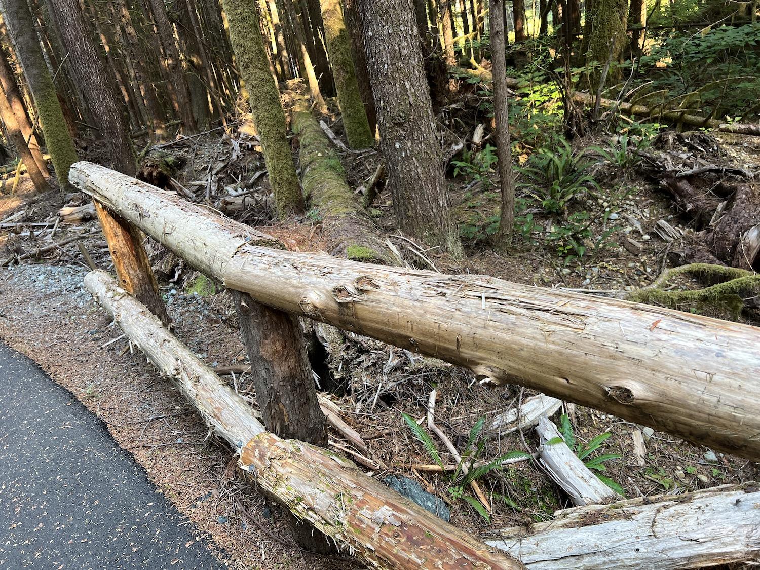
Some of the wood from trees that came down for the pathway was transformed into railings/Jennifer Bain
We saw a camera strapped to a tree for wildlife conservation research monitoring, passed a new amphibian/wildlife culvert under the highway and a bog that was protected by a boardwalk.
At the “KM 9” sign — an area known as Devil’s Dip — there was a warning sign about a bear that’s known to love this particular area. As Bolduc stressed, “it’s important just to be aware that there is wildlife and we are going through their home.”
Trilingual directional signs were in place along the route, but not the interpretive ones. A temporary sign at Waýii, an escarpment overlooking Long Beach, provided a meaningful moment. It’s where I first heard the ocean and saw where ferns uprooted from other parts of the forest had been replanted along stabilizing banks. But it’s also home to a bench where an Elder told Bolduc she likes to sit and see her language represented on signage.
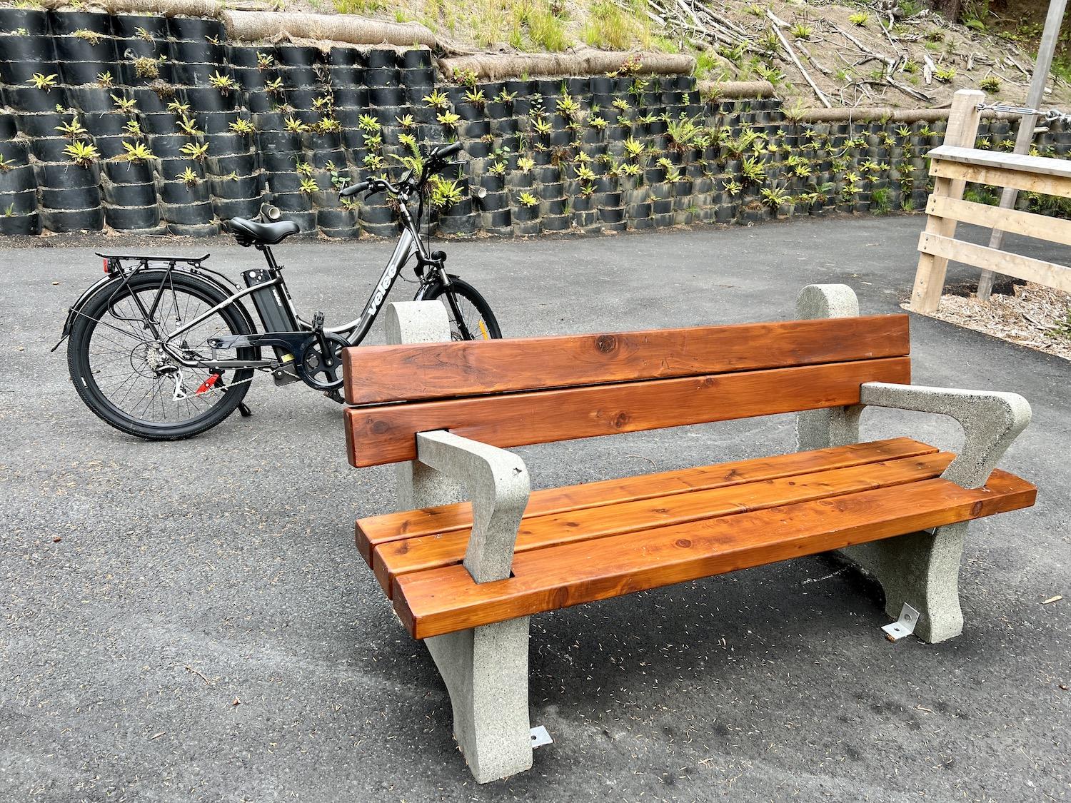
From this bench, you can hear the ocean, see ferns that have been replanted and admire a trilingual sign about the escarpment/Jennifer Bain
Towards the end of the pathway, once we left the rainforest and got to a more open area near the popular beaches, we started to see people out hiking and biking. For better or for worse, there were hardly any banana slugs.
I didn’t see the gastropods again until I arrived in the seaside town Sidney a few days later and found green and yellow beauties in the Shaw Centre for the Salish Sea gift shop. They were as long as my hand and made from recycled glass by Salt Spring Island artist Mark Lauckner of the Glass Foundry. One slug came home with me.
And when I belatedly had time to read the “Ecosystems of Pacific Rim National Park Reserve” brochure I had picked up at the Pacific Rim Visitor Centre, I was thrilled to see banana slugs featured alongside the more easily lovable black bears, salmon, grey whales and wolves — and to learn their name in the Yuułuʔiłʔatḥ language is ʕinḿi.
“Just like bananas, these slugs vary in colour from green, to yellow, to black,” the Parks Canada brochure cheerfully explained above Vancouver artist Alwyn Rutherford’s illustration of a green and black slug with a slime trail. “Unlike bananas, however, these slugs are slimy all the time, not just when they grow old.”
While You’re In The Area:
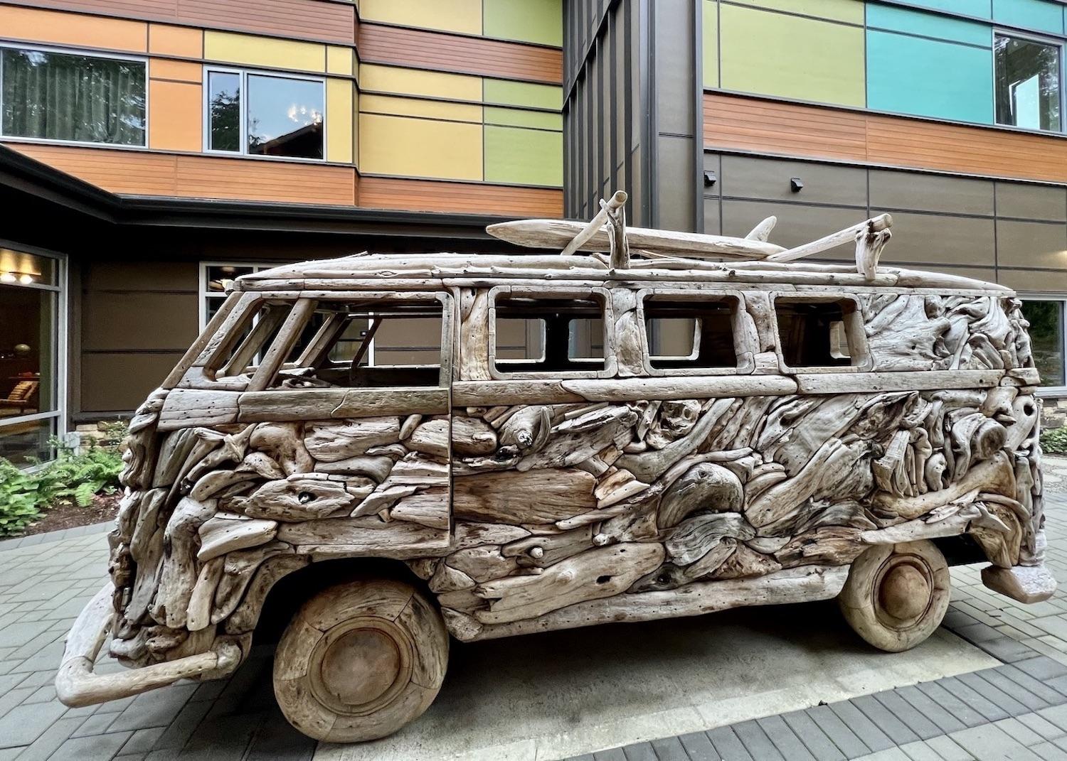
Look for this VW van made of driftwood by Drifted Creations in the courtyard of Hotel Zed in Tofino/Jennifer Bain
Hotel Zed, a Tofino hotel with a swank 1970’s vibe, has a bike path through the lobby and a custom VW van made from driftwood in its courtyard. A one per cent surcharge is added to guest bills for the Tribal Parks Allies program to support the Tla-o-qui-aht First Nation’s vision of achieving a socially and ecologically just conservation economy. To help visitors understand the area’s history of guardianship and activism, the hotel commissioned three people to write a story and puts a copy of ʔiisaak in the Garden (Respect in the Garden) in each room.


Add comment