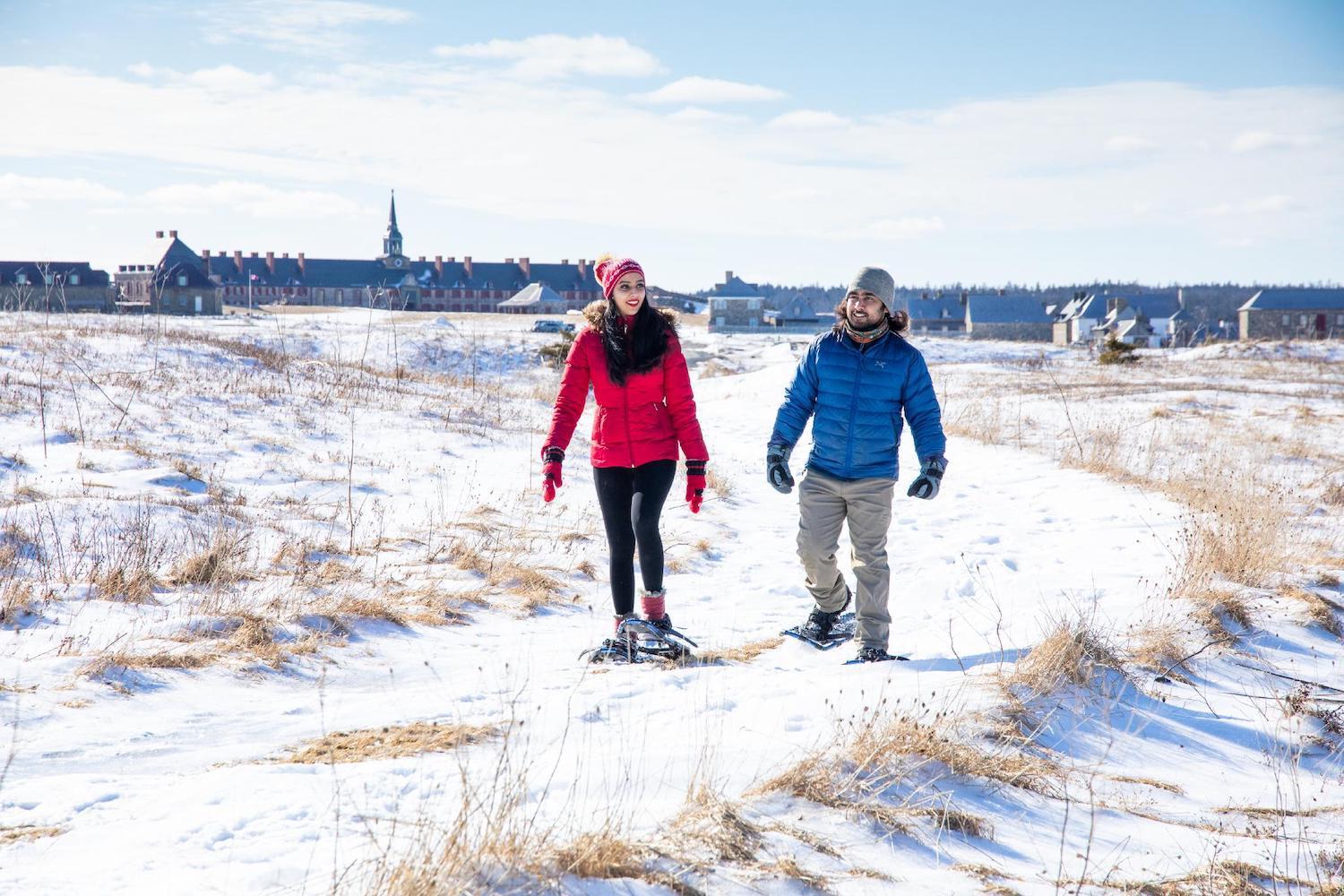
You can walk, or snowshoe, the Ruins Walk at the Fortress of Louisbourg National Historic Site in Cape Breton/Destination Cape Breton, Photographer: Adam Hill
What The Ruins Walk Tells Us About The Fortress Of Louisbourg
By Jennifer Bain
Fetching as she is, the reconstructed French fortress is not the draw on this blustery day as a fierce winter storm approaches Cape Breton Island. It’s a 40-minute interpretive walk that quietly beckons because it speaks to how coastal erosion is impacting the Fortress of Louisbourg National Historic Site, its rocky shoreline and its centuries-old mass grave.
The trailhead to the Ruins Walk is just off the parking lot by the bright yellow De la Plagne House. “You are about to step into a portion of the French town of Louisbourg that remains in ruins,” an interpretive sign advises. “Ahead of you are the mostly undisturbed streets, foundations and defensive works as they have lain for over 250 years.”
Counting the trailhead, there should be 17 marked stops along 2.3 kilometres (1.4 miles) of rough terrain on a snow-dusted path that starts along Louisbourg Harbour and loops around to the Atlantic Ocean side of a tiny peninsula.
“The ocean just beats and batters,” observes Parks Canada’s Nadine Neima-Drover, acting visitor experience product development officer for the fortress. She sets me straight on the difference between a fort (a military base with soldiers) and fortress (a fortified town with civilians, homes, businesses and more) before guiding our walk.
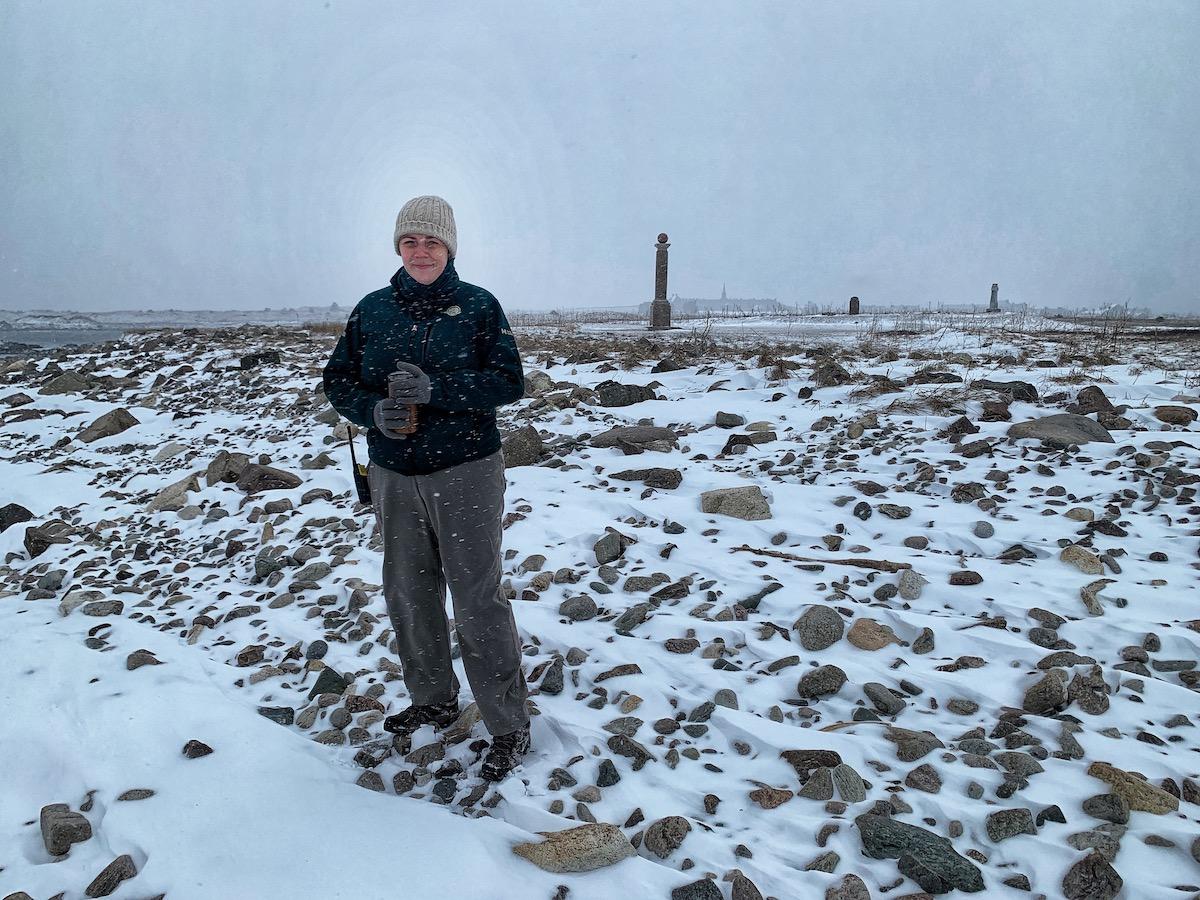
Parks Canada's Nadine Neima-Drover on the Ruins Walk in winter/Jennifer Bain
This popular Nova Scotia fortress is the largest historical reconstruction in North America. It immerses visitors in an 18th century world when the fortress was one of the busiest seaports on the continent. Founded by the French in 1713, the trade and military hub fell under siege twice by British troops before being demolished in the 1760s and laying in ruins for two centuries.
Parks Canada says that when it was the capital of the colony of Île Royale, the “cosmopolitan, relatively sophisticated colonial community” revolved around the cod fishery as the British and French struggled for control of North America. It was a multicultural spot, with Acadians, Germans, Irish, Basque, Swiss, Africans and Irish, as well as trade visits from local Mi'kmaq (whose connections to this place are detailed at an interpretation centre that's not open today).
These grass-covered ruins were given different types of national historic status in 1926 and 1940. Reconstruction of about one-fifth of the original town and fortifications began in the 1960s with excavations of gun batteries, shipwrecks, lighthouses, battlefields and siege camps.
The fortress is just 35 minutes east of the city of Sydney and across the harbour from tourist-dependent Louisbourg where celebrity designers/TV stars Colin McAllister and Justin Ryan are transforming the Point of View Suites into a resort called North Star. The community and fortress, named for the French King Louis XIV, are both pronounced the Anglophone way as “Lewisburg.”
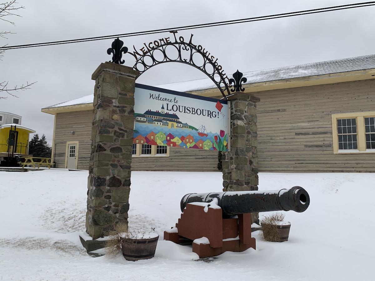
The seaside community of Louisbourg welcomes visitors who come to see the fortress/Jennifer Bain
During peak season, from Canada Day (July 1) to mid-September, the fortress comes alive with costumed animators, interactive experiences, rum and bread tastings, places to sleep and eat, a gift shop and crowds that include cruise shippers who’ve called in at the Port of Sydney, visited the World’s Largest Fiddle (aka the Big Fiddle) and want to delve into something historical. But the fortress grounds also stay open weekdays for low season between October and May, and then daily through two shoulder seasons. Entry fees are reduced as there is less to do.
Most visitors stick to the reconstructed town and fortifications and don’t realize this national historic site spans 6,000 hectares (14,825 acres) with 31 kilometres (19 miles) of Atlantic coastline. In low season, you can wander the quiet streets, admire the architecture and visit the only building that’s kept open (Duhaget House with its garrison and fortifications exhibit). Of the five walking trails, only Ruins Walk, Lighthouse Trail and Old Town Trail stay open in winter.
The first marker along Ruins Walk honours the fact that non-cloistered nuns from the Congrégation de Notre-Dame set up a school for both day students and boarders in 1727 to teach writing, needlework, etiquette and Roman Catholic fundamentals.
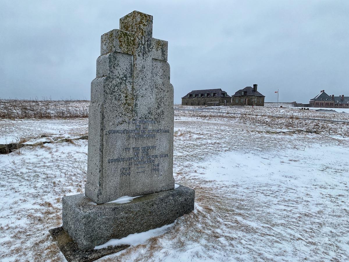
The first stop along the Ruins Walk marks the site where nuns ran a school/Jennifer Bain
There is talk of a hospital that once stood here, treating soldiers suffering from war wounds and accidents with “bleedings, enemas, herbal purges, sweating and starving.”
From 1717, an Admiralty Court held in a judge’s home regulated fishing, trade, shipping and disputes between captains and their crews. The lucky judge kept all the fees collected for inspections, permits and certifications.
“This is a great way to get the stories of those buildings that weren’t reconstructed,” says Neima-Drover. “But it is kind of a rugged talk.”
Leaving what was once the fortified town, we pass through the almost invisible remains of the once impressive Maurepas Gate. The ornate gate was pillaged after the second siege and only mounds mark the remains of stone walls.
The trail — admittedly hard to follow in snow if you don’t know your way around — continues to Rochefort Point. Once a “suburb” named for a fishing proprietor, it used to be twice as wide as it is now.
“The sea is eroding the land on all sides,” an interpretive panel laments.
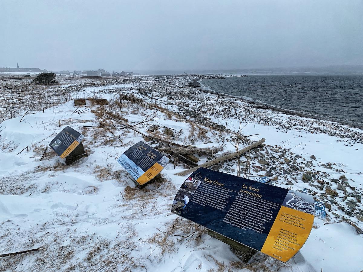
These three interpretive panels speak to coastal erosion and the mass graves found here/Jennifer Bain
The panels are spread out along the trail, except for here where three are clustered. Coastal Erosion (#9), Sainte-Marie Property (#10) and Mass Grave (#11) get to the heart of the story this path wants to tell.
It may be news to the average visitor, but Cape Bretoners know that rising sea levels and severe storms have caused the coastline on this point to shrink dramatically. “Buildings and fortifications that were once on dry land are now exposed on the shore, are under water, or have washed away,” a panel explains. “Although barriers are sometimes used to curb erosion, their use often increases erosion elsewhere.”
Parks Canada expects this point to eventually disappear into the sea. But it has enlisted archaeologists using “rescue archaeology” to study what’s salvageable and catalogue details before structural features are lost forever.
A second panel explains how the Sainte-Marie Property was once near this spot and home to an artillery captain and his family until the French burned down the house to create a clear line of fire against the English during the siege of 1745. I can’t see it, but a rectangular ruin marks what was once the cellar. Archaeologists have found household artifacts here made in France, England, Germany, the Netherlands, Spain and China.
“The foundations of the house now lie mostly on the beach in front of you,” the panel says.
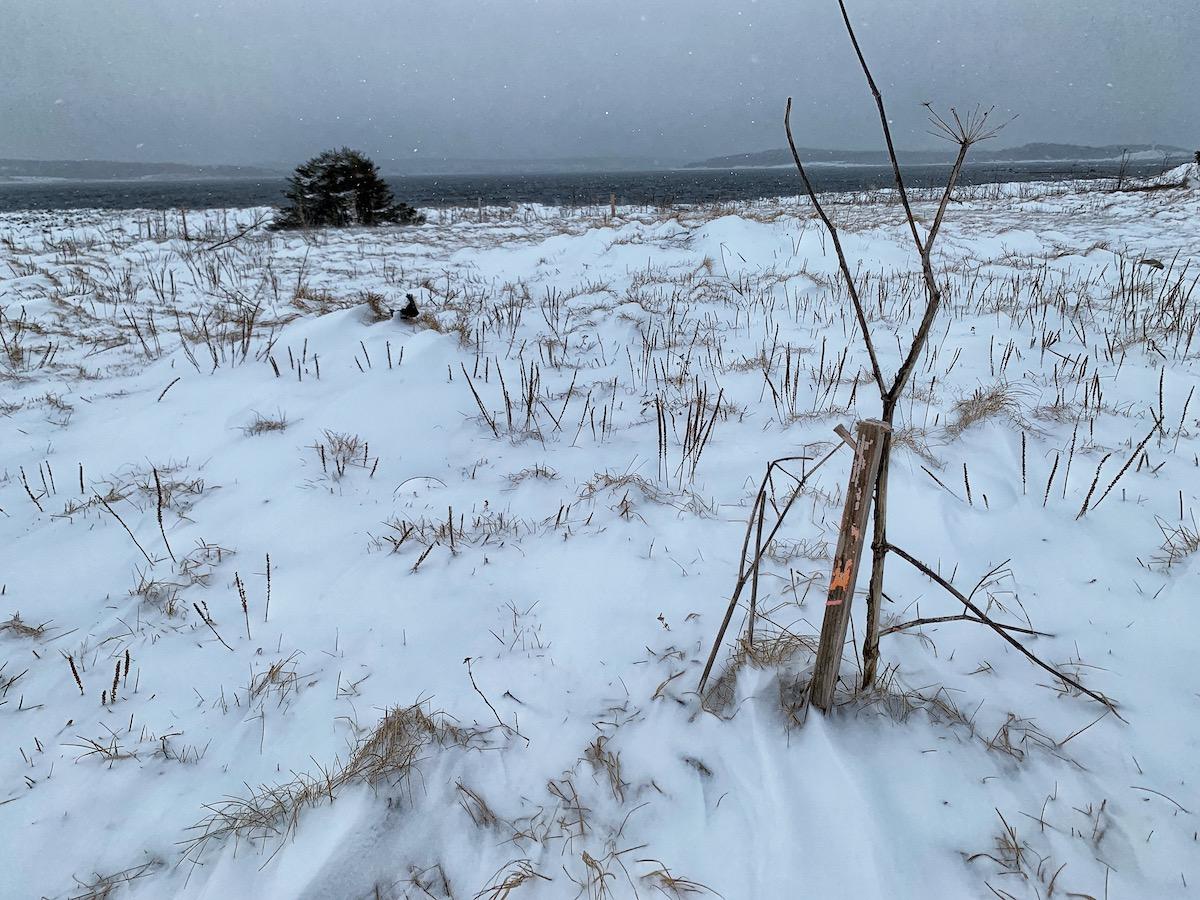
The area where the mass grave was found in a cellar is covered up in winter/Jennifer Bain
When the cellar was excavated in 2006 and 2007, archaeologists were shocked to find 45 human skeletons. “The deceased had been wrapped in shrouds and carefully laid in two layers on top of the burned beams of the house. Most were young men and a few showed signs of traumatic injuries,” the panel explains. These people likely died when disease and severe winter conditions in 1745-46 claimed about 1,000 lives from the New England garrison that occupied Louisbourg after one of the sieges.
Bodies that couldn’t immediately be buried were laid in the snow until the spring thaw. To prevent these remains from being washed out to sea, Parks Canada has transferred them to a crypt.
"We can't save everything, but we can document things before they go," Parks Canada's Rebecca Dunham said in a 2016 YouTube video when she was a senior archaeologist for the fortress and giving a presentation on how the mass grave was discovered, protected and studied.
What the signs don’t explicitly detail is how Parks Canada and the University of New Brunswick partnered in 2016 to address coastal erosion by excavating the people interred here. The UNB Bioarcheology Field School sends students each summer. As Parks Canada explains in a Facebook post, they’re “actively protecting these physical remains from certain destruction while conducting research that offers a rare and valuable look into the lived experiences of those who were part of the 18th century Louisbourg community.”
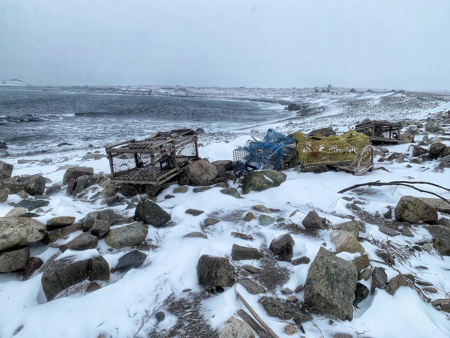
Ghost gear dots the rocky shoreline and gets cleaned up every June/Jennifer Bain
It’s a sombre spot, and near where we also start seeing “ghost gear” — discarded, lost or abandoned fishing gear that can threaten wildlife. Strong tides and currents run ghost gear aground leaving coastal areas littered with marine debris, plastics and other waste created by humans. Every June, usually on a Sunday near World Ocean Day, a public shoreline cleanup is held to collect lobster traps, fishing rope, marine debris and plastic. Sometimes, local fishers are able to retrieve their lobster traps.
Ghost gear sightings continue as we round the point and learn how this harbour once flourished due to international trade and the colony’s fishery. “Its proximity to the Grand Banks, its size and location, made it a convenient place to settle,” a panel explains. “The harbour defences were crucial in protecting the rest of New France as Louisbourg was positioned near the shipping lanes that led down the St. Lawrence River.”
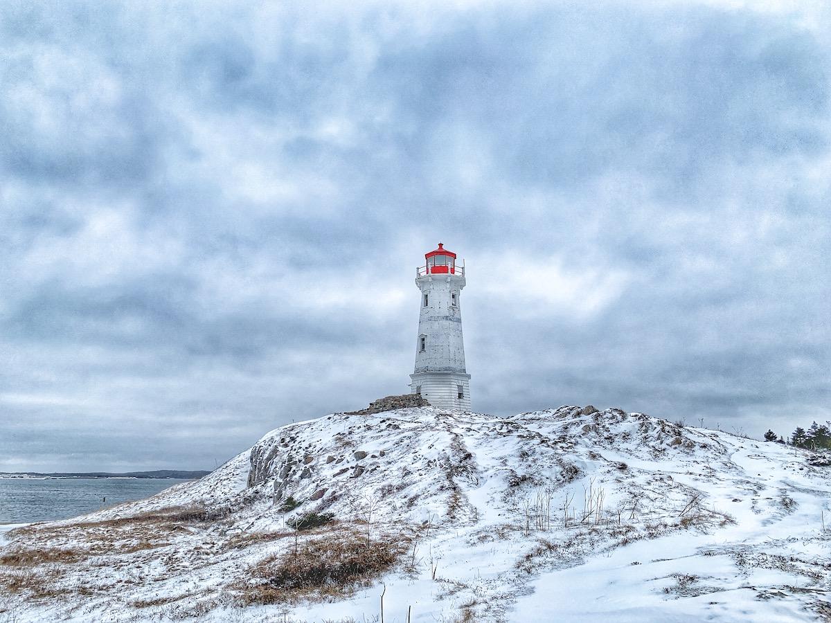
An aging lighthouse stands near the spot where the French built Canada's first lighthouse. It's a short drive from the fortress and not on the Ruins Walk/Jennifer Bain
I learn that the French built Canada’s first lighthouse — the second in North America — in 1734 near the location of the current 1924 lighthouse, a short drive from here. That crumbling but photogenic lighthouse is beside Lighthouse Trail, another all-season walk along the rugged coastline.
By now the snow is coming down hard and fast, and it’s almost time to drive back to Sydney. But if we took time to look out to sea, we’d see a tiny island that what was once called the Island Battery. It guarded the harbour entrance, defended the town and had curved stone walls on three sides with a rocky ridge on the fourth and 30 mounted cannons. A second battery — De Salvert — housed 11 large cannons and a portable furnace for heating cannonballs to set fire to enemy ships.
It's hard to visualize, but this empty land was once filled with homes, including some that were expropriated to build a defensive “curtain wall” between two bastions, and a powder magazine to store gunpowder.
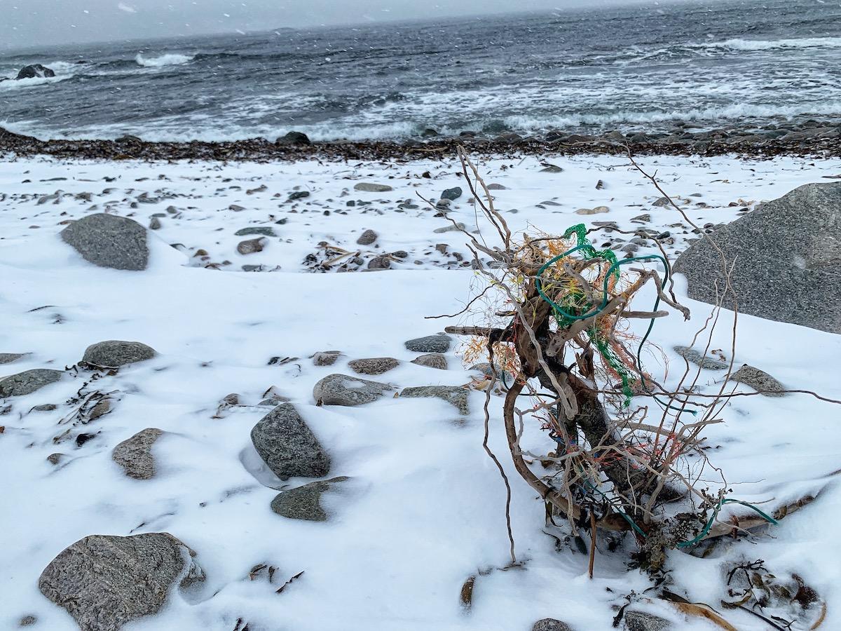
More ghost gear, this time fishing rope, tangled on the shoreline/Jennifer Bain
All this talk of violence leads, naturally, to more talk of death.
Standing in front of a bleak landscape that was once one of several burial grounds for both the French and English, I read how many people buried at Louisbourg were wrapped in shrouds because “coffins and caskets were an expensive luxury.” There were separate cemeteries for soldiers and civilians spread over five acres. French graves were reportedly so shallow “that bones and edges of coffins could be seen above ground.”
It's here where Neima-Drover explains how rocks that have washed up from the sea onto land have impacted trails. Parks staff had to cut off a final portion of the Ruins Walk and remove several interpretive panels, so it's shorter than promised.
As we head back, we pass what’s known as the barrier beach. On a nicer day, I’d wander down to the ocean to study two groynes — protective stone structures — that now extend from the shore into the water to prevent the beach from washing way. I discover that I can check out Google Earth Projects to redo the Ruins Walk virtually, zoom in on the panels and actually see some of the ruins when the snow is gone. Or I can just come back in summer.
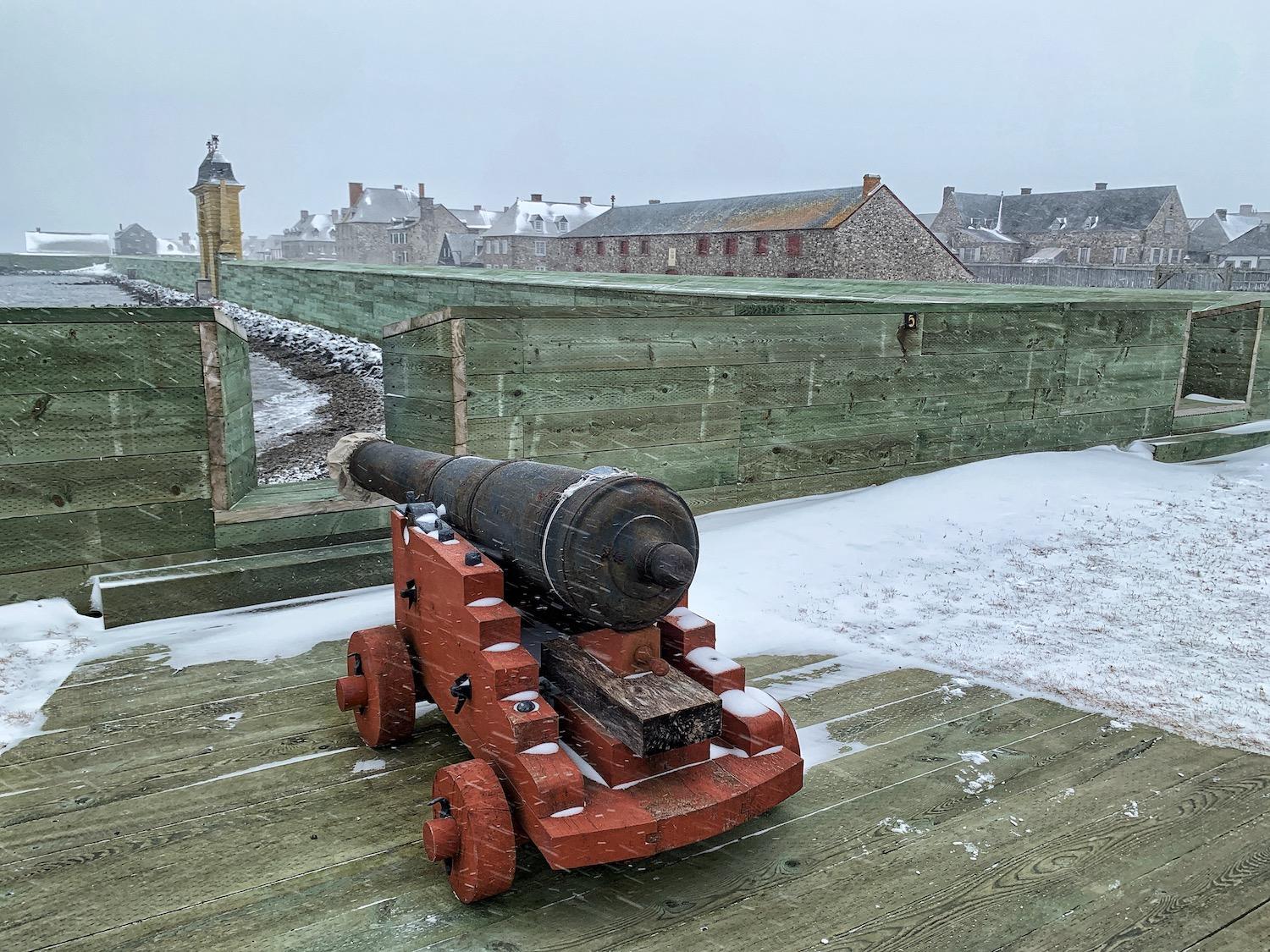
The quay wall was raised to combat coastal erosion, rising sea levels and flood-inducing storms/Jennifer Bain
Racing the impending storm, I spend a few final minutes wandering through the empty streets of the fortress and admiring the iconic Frédéric Gate (the only other bright yellow structure). Here, along the quay, if you know what you're looking at you can again see the impact of coastal erosion, rising sea levels, and more frequent and intense storms.
A 2018 storm and high tide breached the quay wall and flooded part of the town, prompting Parks Canada to raise the wall one metre (3.3 feet) to minimize the risk of future floods. It was then “redocked” with pressure-treated lumber, and a grassy hill and stairs was built up so people can still see over the walls to the water. Some people may just see a new, green-tinged wall.
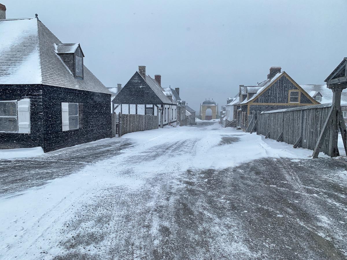
In winter, you can linger in the empty streets of the fortress and admire the architecture and iconic yellow Frédéric Gate/Jennifer Bain
As I get in my car, two foxes scamper across the parking lot, possibly the only living creatures openly out and about today.
This storm is intense but short-lived. Six days later, the fortress welcomes local families for a free Sunday event to mark Heritage Day. Summer is coming, and with it, hopefully, thousands of visitors, including the Americans and cruise ship passengers who've been kept away until now because of Canadian pandemic restrictions.
There are so many stories to be told at this fortress, you could visit dozens of times and not even make a dent in them.
“It’s good that we’re talking about coastal erosion,” Neima-Drover says, “but it’s something we need to be talking about more.”
This article was made possible in part through the support of www.novascotia.com.

Add comment