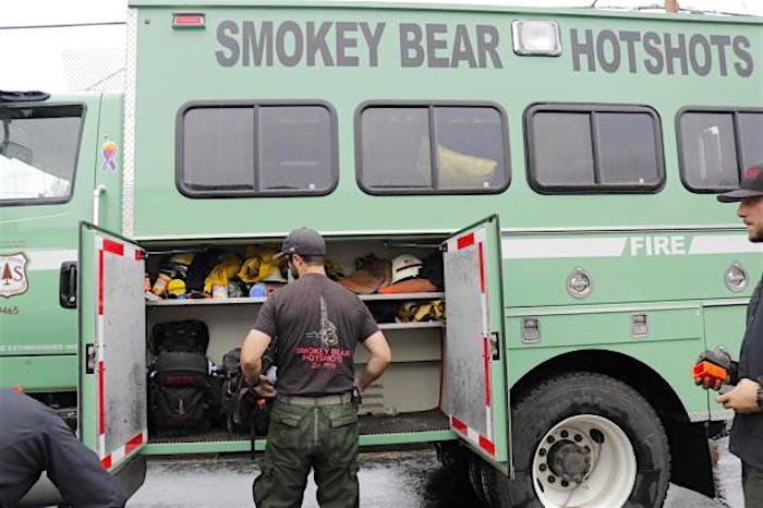
The Smokey Bear Hotshots from New Mexico are fighting the fire at Shenandoah National Park. The hotshots named their crew after the bear that was found near their home base in New Mexico's Lincoln National Forest/NPS, Rita Baysinger
Cooler weather with higher humidity both slowed the growth of the Rocky MTN Fire in Shenandoah National Park and allowed crews to extend containment lines to 43 percent of the fire, though a return to warmer, drier weather next week could create favorable burning conditions.
The daily fire briefing Saturday morning said the park received an average of one-tenth of an inch of rain on Friday, and that weather "created a window of opportunity for fire resources to more effectively secure and reinforce fire lines arond the entire upper half of the fire."
An overflight Friday evening showed the fire covering an estimated 8,952 acres.
"Favorable conditions are expected to continue through today and into tomorrow morning, allowing crews to continue to secure spot fires in the area of Skyline Drive and increase depth of mop up along containment lines," the briefing noted. "Several property owners between the Lewis Peak Trail and Madison Run Road have given permission for fire crews to improve a series of old jeep roads and trails that run through their respective properties to build a solid contingency line to hold and contain the southwest corner of the fire, should the need arise. Fire crews are also on standby for new starts for the entire Shenandoah National Park and the Blue Ridge Parkway."
The fire, burning in mountain laurel, pine, and oak forests with heavier than average leaf litter and duff, was reported a week ago. It was thought to have been human caused.
Remaining closed is a short section of the Appalachian National Scenic Trail, from Blackrock Gap at mile 87.5 to Powell Gap at mile 70, and the Skyline Drive between Swift Run Gao at mile 65.5 to Black Rock Gap at mile 87.5.
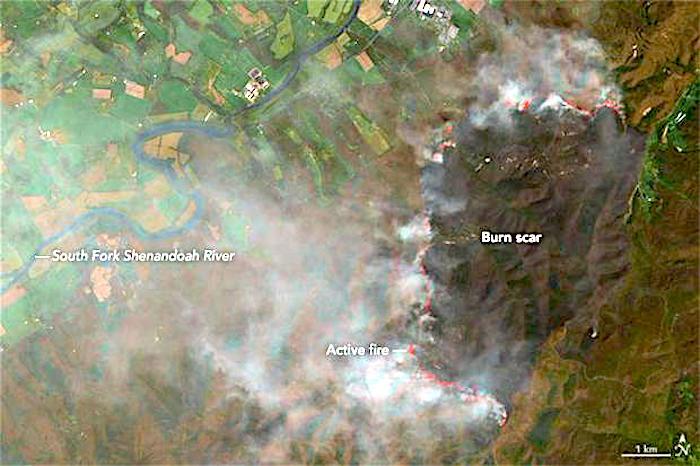
This satellite photo of the fire was taken Friday/NASA


Add comment