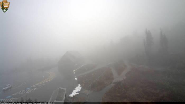
Rain and clouds were already enveloping the Jackson Visitor Center at Mount Rainier on Friday, and heavier rains were in the forecast/NPS webcam
Heavy rains, possibly more than a foot this weekend, and high winds have Mount Rainier National Park officials preparing the park for flooding and power outages, with the possibility of evacuations also anticipated.
Park Superintendent Randy King said Friday afternoon that the current forecast was calling for 12”-15” of rain to fall in the park over the next 48 hours, with snow at higher elevations.
"This event is expected to produce high precipitation and high winds throughout the park. All park rivers are expected to reach near flood stage, with potential for debris flows associated with glaciers," a park release said. "Power outages may also occur throughout the park and emergency services may be significantly delayed. Travel in the park is discouraged until the storm passes."
Due to the forecast, park officials closed the following areas for hiking, biking, and driving:
* Westside Road
* Sunrise and White River Campground Roads, closed at the junction with SR410.
* Carbon River Trail, entrance to Ipsut Creek
* Mowich Lake Road, beyond the Paul Peak vehicle barricade.
The timing of these emergency closures coincides with the last few days of planned operations for some roads, so effectively this storm will end seasonal driving access to Mowich Lake and the Sunrise/White River Road, the park release said.
Other park roads or areas may be closed as conditions warrant during or following the storm. Visitors are asked to respect any closure signs, barriers, or staff directions as it relates to park access this weekend. Backcountry camping permits will not be issued through the weekend and camping in vehicles is not permitted in the park.
Updates on road conditions and restrictions can be obtained by calling the park at 360-569-2211 for recorded information or subscribing to the park’s Twitter feed at http://twitter.com/MountRainierNPS.
Information is also available through the park’s official website www.nps.gov/mora and Facebook at http://facebook.com


Comments
Here we go again. We're supposed to get almost four inches of rain here in the lowlands over the weekend, too.
It must be almost November [wry g].